Fornebu
7.08 km
42 m
Green cycle routes, Oslo: Lysaker - Rolfsbukta - Storøyodden - Lysaker
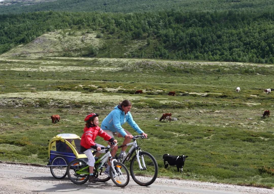
A very easy and family-friendly circuit in large, open green areas and parks, with several nice picnic spots.
Distance: 10.5 kilometres
Time: 45-50 minutes
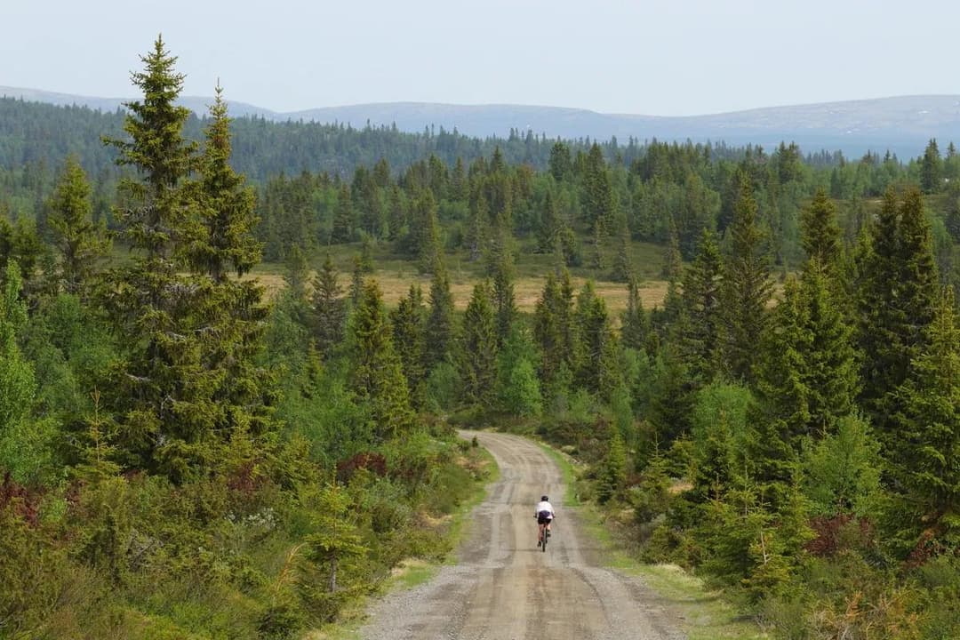
Surface: 75 per cent asphalt, 25 per cent gravel
Children: From 6-7 years
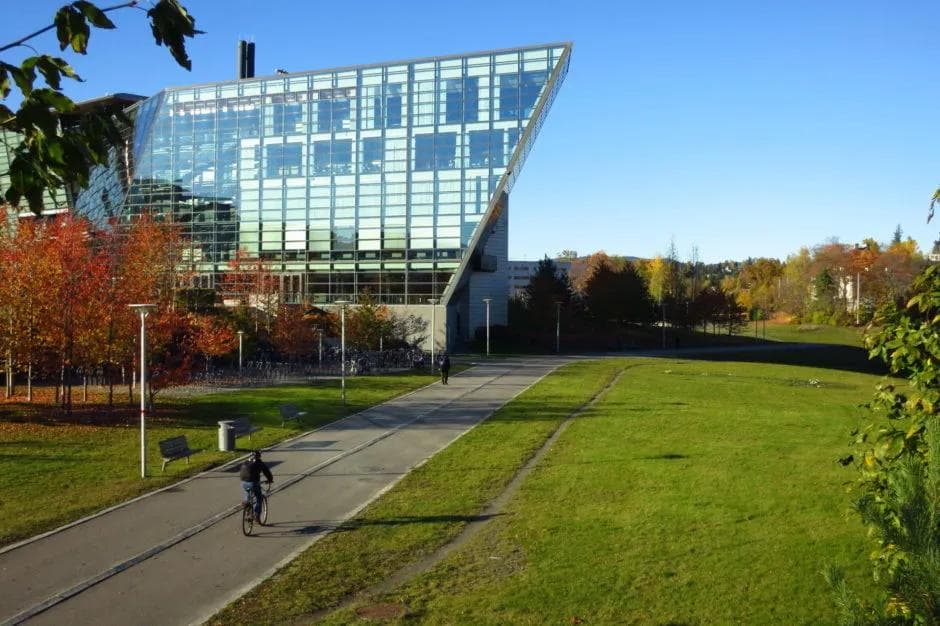
Start/end: Lysaker station.
Challenges: Slight incline from Lysaker, here you also have to cycle about 200 metres on pavement.
Car traffic: Crossing a modestly busy road at Fornebuveien and Forneburingen.
Type of bicycle that can be used: All.
Special considerations: The hiking trail at Storøyodden is used by a number of walkers and joggers. Cycling takes place on their terms.
Alternative to
This route is a great alternative to: Fornebuveien, Snarøyveien.
Description.
ATTENTION: Due to excavation work, we have had to shorten this route. The route therefore no longer starts from Lysaker, but goes straight to the round at Fornebu. What you see in the map above is where you can cycle as of October 2020.
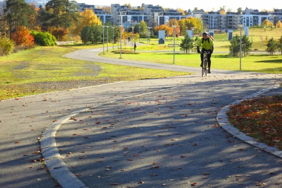
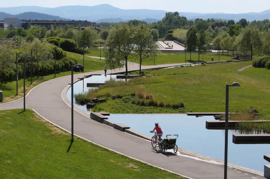
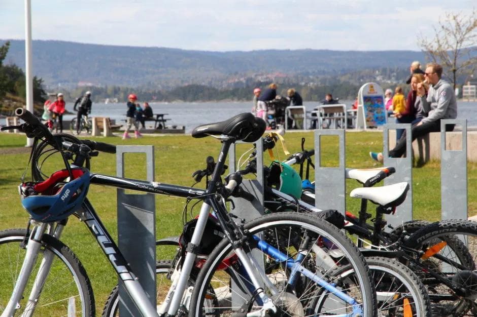
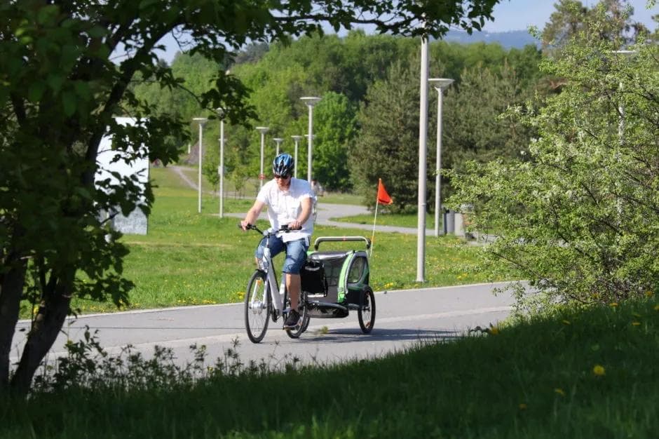
This is a very easy and family-friendly route through large, open green areas and parks, with several nice places to rest – not to mention one of the Oslo area’s most beautiful swimming spots, at the end of Storøyodden. There are several restaurants, galleries and museums in the area. Parts of the route have cycle paths with pavements, so pedestrians and cyclists are separated.
On the north side of the road, towards the headland, you can experience one of the city’s few towers specially designed for birdwatching. The return journey from Storøyodden takes you through the 200-acre Nansen Park, with picnic areas, a small stream and a number of alternative hiking trails. Nansenparken cost NOK 100 million to build and was named park of the year in 2013 by Norwegian landscapers, environmental and landscape contractors. The park is a hiking destination in itself.
For those who want to cycle on…
You can make your round longer by using the separate cycle path around Forneburingen, which runs along a low-traffic road.