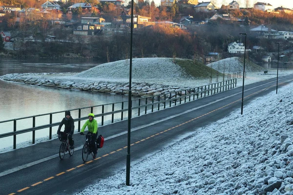
Straume
Easy
7.20 km
123 m
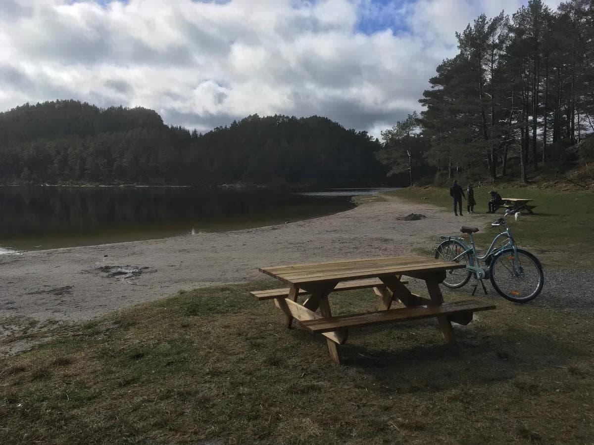
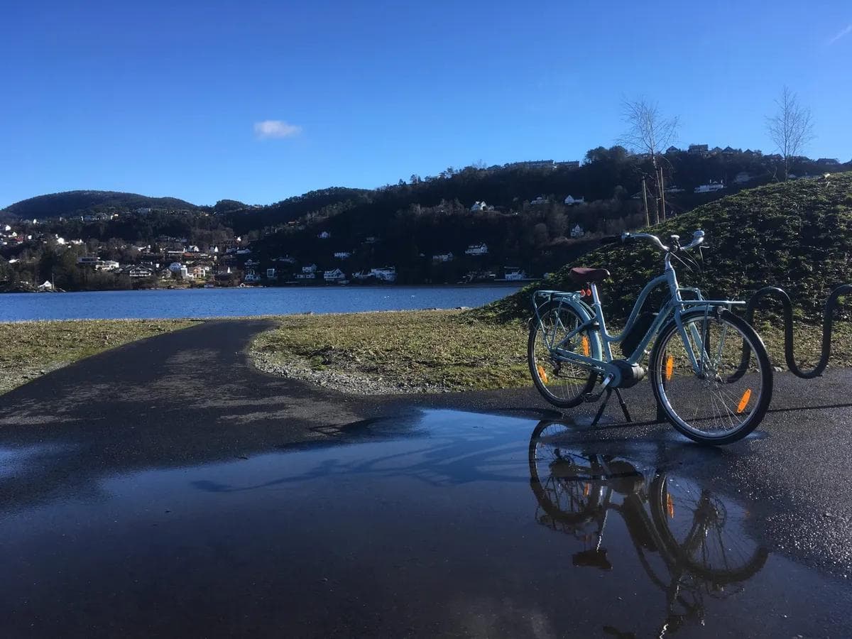
Green cycling routes, Bergen: Straume - Spelhaugen - Kanadaskogen - Laksevåg
A good route for those travelling from Søreide, Straume and Fyllingsdalen and heading north towards Laksevåg
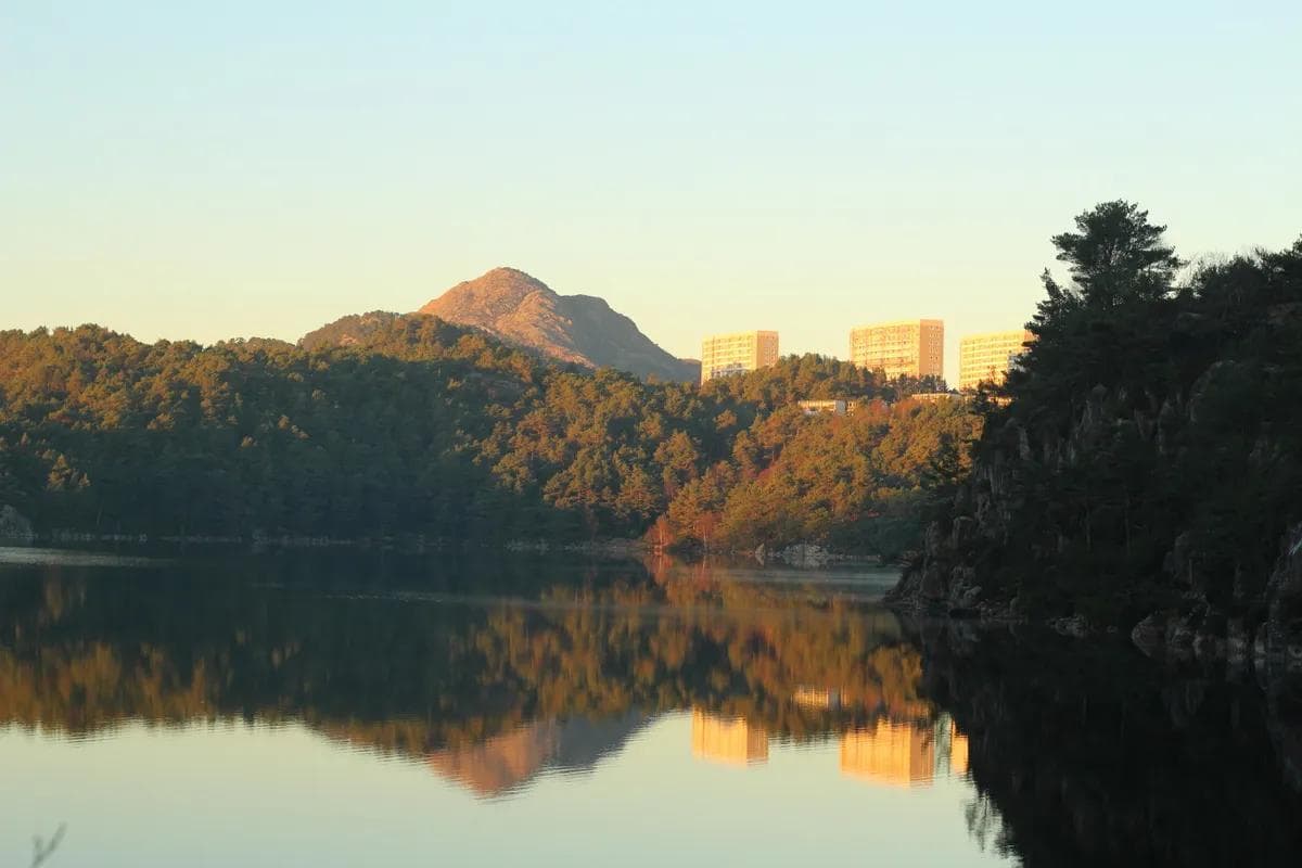
Straume
7.20 km
123 m
A good route for those travelling from Søreide, Straume and Fyllingsdalen and heading north towards Laksevåg