Sønstebøsætre
243.10 km
2550 m
National cycle route 5 Numedalsruta Smådøldalen - Larvik

Rating from Sykkelnorge
Safety/Security
Elevation per day
Surface
Signage and marking
Tourist infrastructure
Scenic quality
Experience/accommodation per day
Public transport
Electric bike friendly
From mountain to fjord. Along mountain passes, idyllic farmland, rivers and waterfalls as well as cultural landscapes with fields and meadows, ending in the Vestfold archipelago. This forms the backdrop for 243 kilometres of the Numedal Route. This 24-kilometre stretch of national cycle route 5 is classified by the Cyclists’ Association’s new star system.
It starts where Smådøldalen begins near Dagali and ends in Larvik.
If you’re more keen on pedalling uphill than pedalling down a gentle slope in a rolling landscape, choose the opposite direction 🙂
Through Smådøldalen towards Rødberg
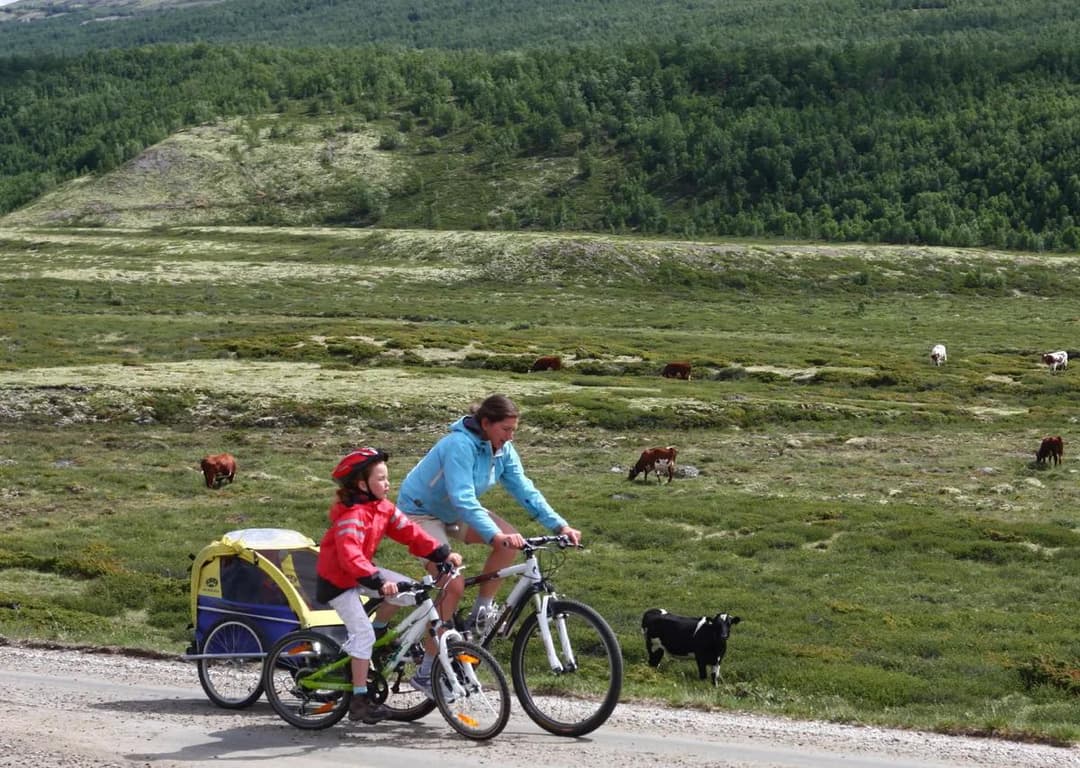
One of the best parts of the route is the four kilometres from Ånevatnet to Rødberg. Although you cycle a couple of kilometres along county road 40, the traffic here is not so heavy that most people can cycle here, including young people aged 12-13.
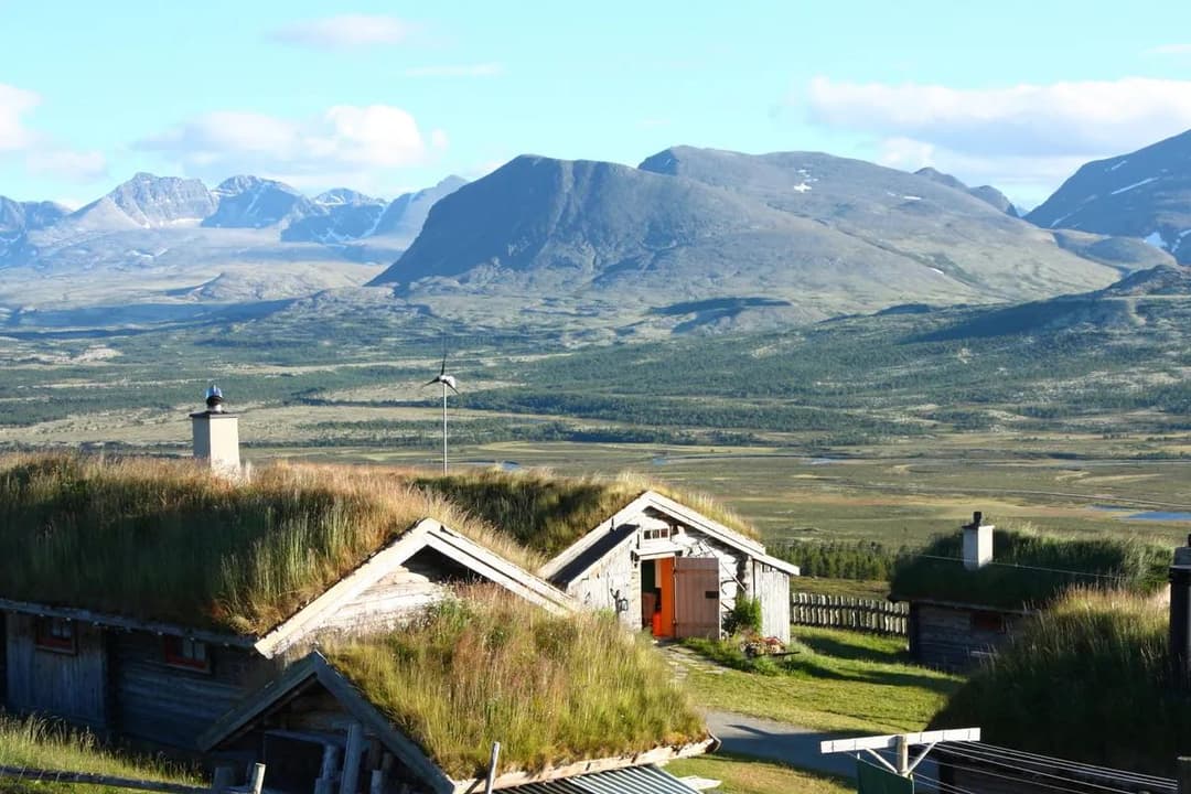
The road through Smådøldalen is an idyllic setting characterised by mountain lakes, some farmsteads and a few cabins. There are views of mountains at an altitude of 1200-1300 metres, including fairly steep mountainsides on the eastern side of the valley. In several places you cycle quite close to the river Smådøla. Most of the route is flat or gently downhill towards Rødberg, 370 metres above sea level. The signposted route takes you up a steep hill towards Fønnebø and Uvdal stave church, which is so steep that many people will probably choose to wheel their bikes.
If you want to avoid this hill, you can continue straight ahead on Smådølvegen, Vikangrendvegen and Uvdalsvegen at the Smådølvegen/Fønnebøvegen junction. This would also make the trip around eight kilometres shorter, and SLF has included this recommendation in the proposed map.
For a short stretch, the route runs along county road 40, which can be somewhat busy at times and where cycling takes place in mixed traffic.
Along Numedalslågen to Rollag
From Rødberg, the route rushes quickly down the valley, and the first 10-12 kilometres are in mixed traffic on county road 40, which can be perceived as somewhat unsafe due to the narrow shoulder and some traffic at times. There is a bus service throughout the valley, so it is possible to avoid the stretch by bus to Nore.
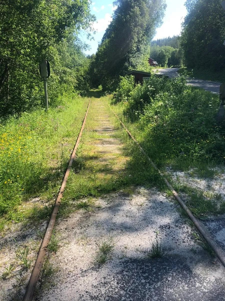
Here you can visit Nore Stave Church before the road continues along the river in peaceful surroundings. After a short trip along county road 40 again at Kravikfjord bridge, it becomes quiet, calm and rural again. There’s a bit of a climb, and with height comes views. In Veggli, you can stay overnight, eat, shop and ride a horse-drawn carriage on the disused railway. There is also a great picnic area by the waterfall with organised benches.
The route is also easy to cycle, and on the way towards Rollag you’ll pass both Rollag stave church and village centre. For camping, Holman Camping can be reached by a suspension bridge over the river close to the village centre. There’s a shop in Rollag if you need to stock up on provisions.
Idyllic tranquillity along the river to Kongsberg
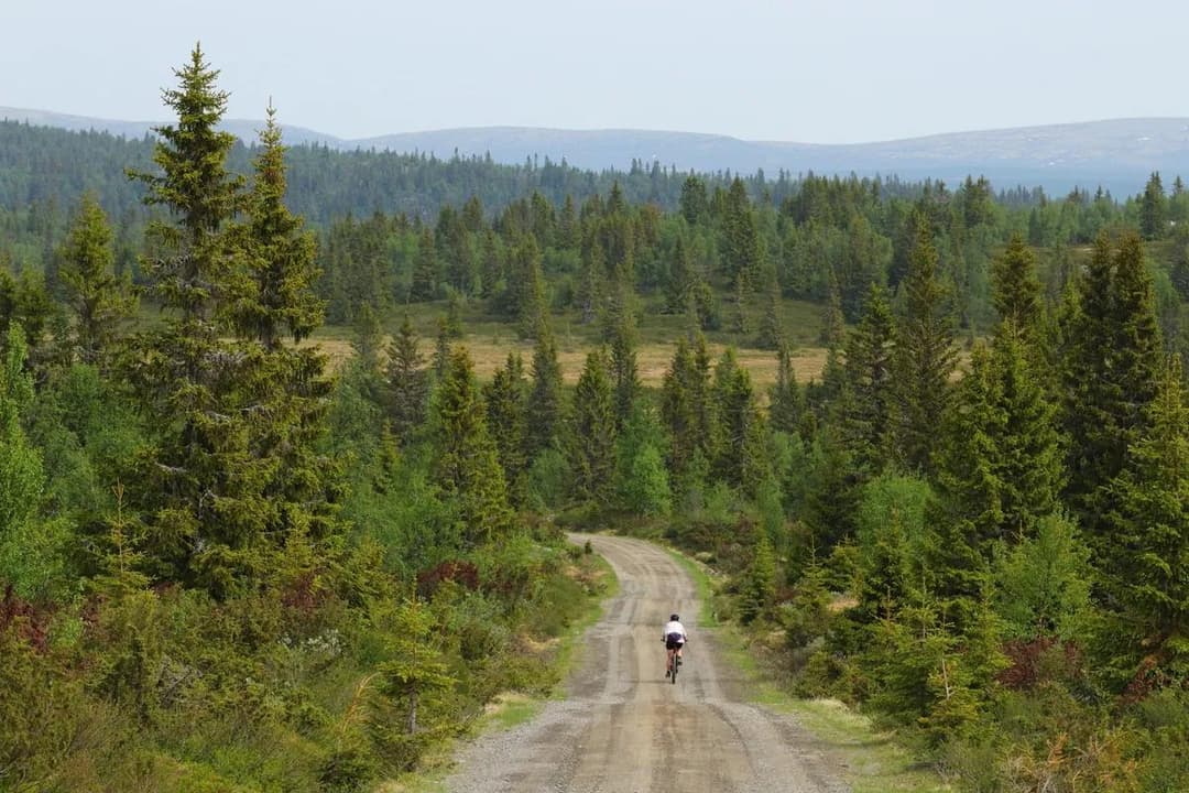
Leaving Rollag, it’s initially idyllic with gravel cycling between farms, but pretty soon you’re back on the county road again. Keep an eye out for the bridge over to Vestside – where it gets quieter again. There are lots of pine trees along the route here.
The cycling continues further south, and it is recommended to turn off towards Lampeland – it is signposted. This is a deviation from the national route, but SLF recommends it, not least because of the pedestrian and cycle path that has been built between Lampeland and Svene, which provides 5 km of safe cycling. In addition, the village of Lampeland with its shops, restaurants, sports shop and hotel is included. The final stretch to Kongsberg is on quiet back roads, and you cycle past idyllic tranquillity along the river.
From Kongsberg to the sea
Calm day-long stages with lush cultural landscapes await. The key words are farms, fields and meadows and many rivers trickle past the route. It’s an undulating landscape, and in several places you’ll get great views of the countryside. Cyclists will also appreciate the many peaceful small roads with little traffic, where you can often cycle several kilometres between each car you meet.
There are a number of shorter hills where you climb about ten to thirty metres in height, which together lower the average speed and require some effort. The tour is best suited to cyclists in normal shape. Alternatively, electric bikes can be a good choice for those who are not so used to cycling.
There are grocery stores via detours in Svarstad and Kvelde. There is a campsite and inn at Brufoss north of Svarstad after eight kilometres, and a large campsite at Åsrumvannet after 46 kilometres.
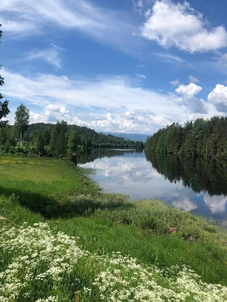
Along the Numedalslågen river, you’ll also find several cosy picnic areas and shelters right down by the river. These places are an experience in themselves and just one of several arguments in favour of choosing this scenic route.
Be aware that the route lacks a number of signs for the last ten kilometres towards Larvik.
It is entirely possible to cycle the route in the opposite direction or take parts of the route combined with a bus. In that case, it’s a good idea to avoid the most popular departure times as there is limited space for bikes in the boot. Cycling from the south to the north will add approximately 1,000 metres of altitude.
It is also possible to start the trip from Geilo. In that case, there will be 3 solid uphill sections and many kilometres along fairly busy roads.
Reservations:
This route was last cycled by SLF in 2020/2021.
Changes and deviations may occur over time in service offerings, road standards, traffic volume, traffic patterns, signage, etc. and SLF cannot take responsibility for such changes.
