Trysil
398.84 km
4273 m
National cycle route 9 Villmarksruta: Trysil - Halden
Distance travelled: 398 kilometres Time: 6 - 8 days Surface: Approx. 1/2 asphalt, 1/2 gravel Grading: medium
Rating from Sykkelnorge
Safety/Security
Elevation per day
Surface
Signage and marking
Tourist infrastructure
Scenic quality
Experience/accommodation per day
Public transport
Electric bike friendly
Start and end point: Trysil town centre / Halden train station. Alternative start on motorway 25 at Tjernmoen, just south of Osensjøen
Public transport: Bus route between Elverum and Trysil (check departures in advance)/ train from Halden.
Safety: Generally little traffic. This varies from some traffic on a stretch of about a mile after Tistedalen, to more scattered traffic from Aspern to Ørje. Long stretches almost completely without traffic, especially the northern half from Skotterud. There are a few kilometres of cycle paths on a couple of stretches, but the route is almost entirely in mixed traffic.
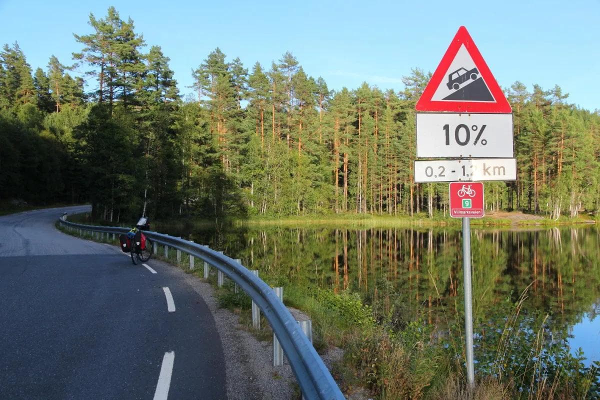
Gradient: The day’s stages have between 300 and 700 metres of total ascent. There are few really steep hills and as a whole the Wilderness Route is rated as medium demanding.
Signposting: The route follows signpost 9 for Villmarksruta. There are some gaps in the signposting, so a map is important. Not signposted out of Trysil. From Ulvsjøen, Baksjøbergsvegen is recommended instead of the signposted Jerpenvegen route due to loose gravel.
Electric bicycles: Charging points are few and far between, and Villmarksruta is less suitable for electric bicycles, especially the northern section. If you avoid cycling with maximum motor assistance, and also bring an extra battery, the trip should go smoothly.
Tour description
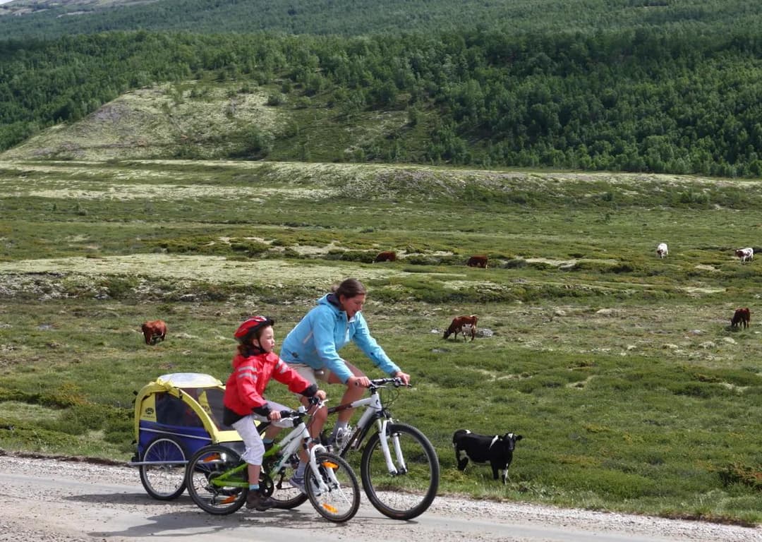
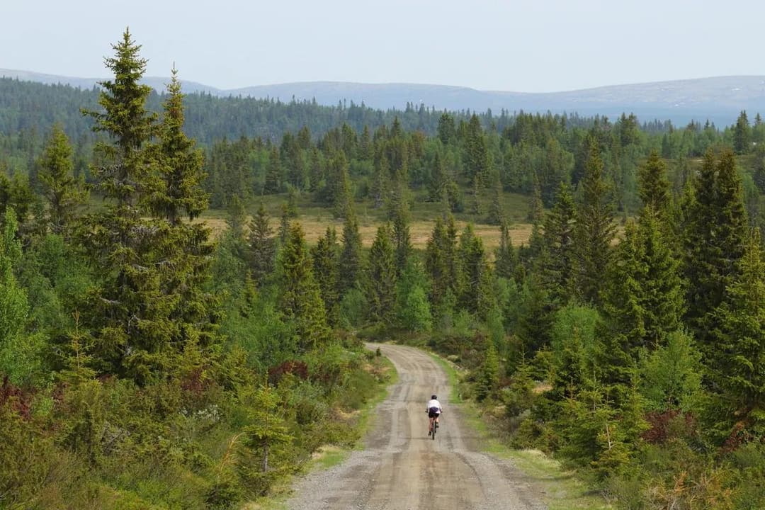
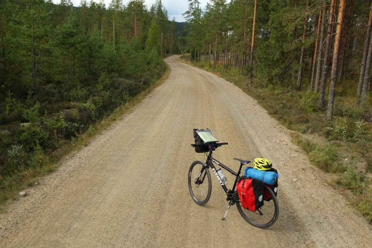
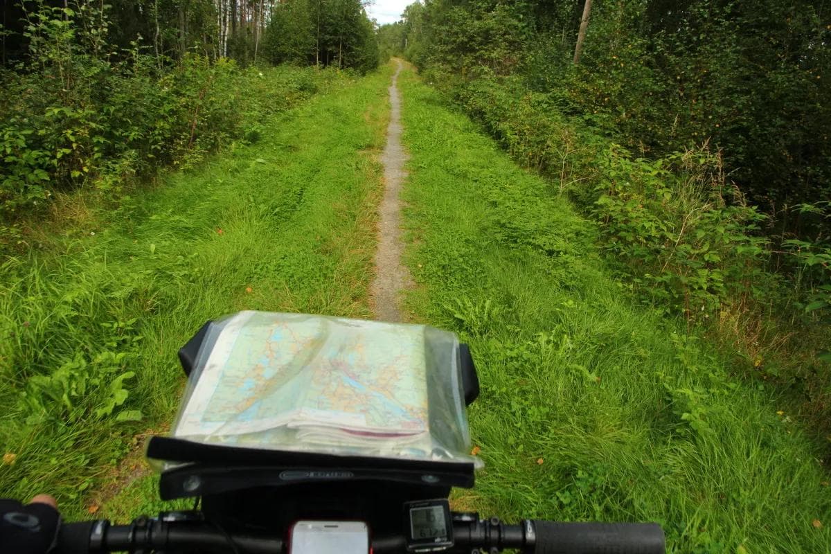
The Wilderness Route doesn’t lie – this is largely a trip in a quiet forest sea through sparsely populated areas. If you want to experience silence and long stretches that are virtually free of car traffic, the Wilderness Route, especially the northern section, is for you.
Nature experience
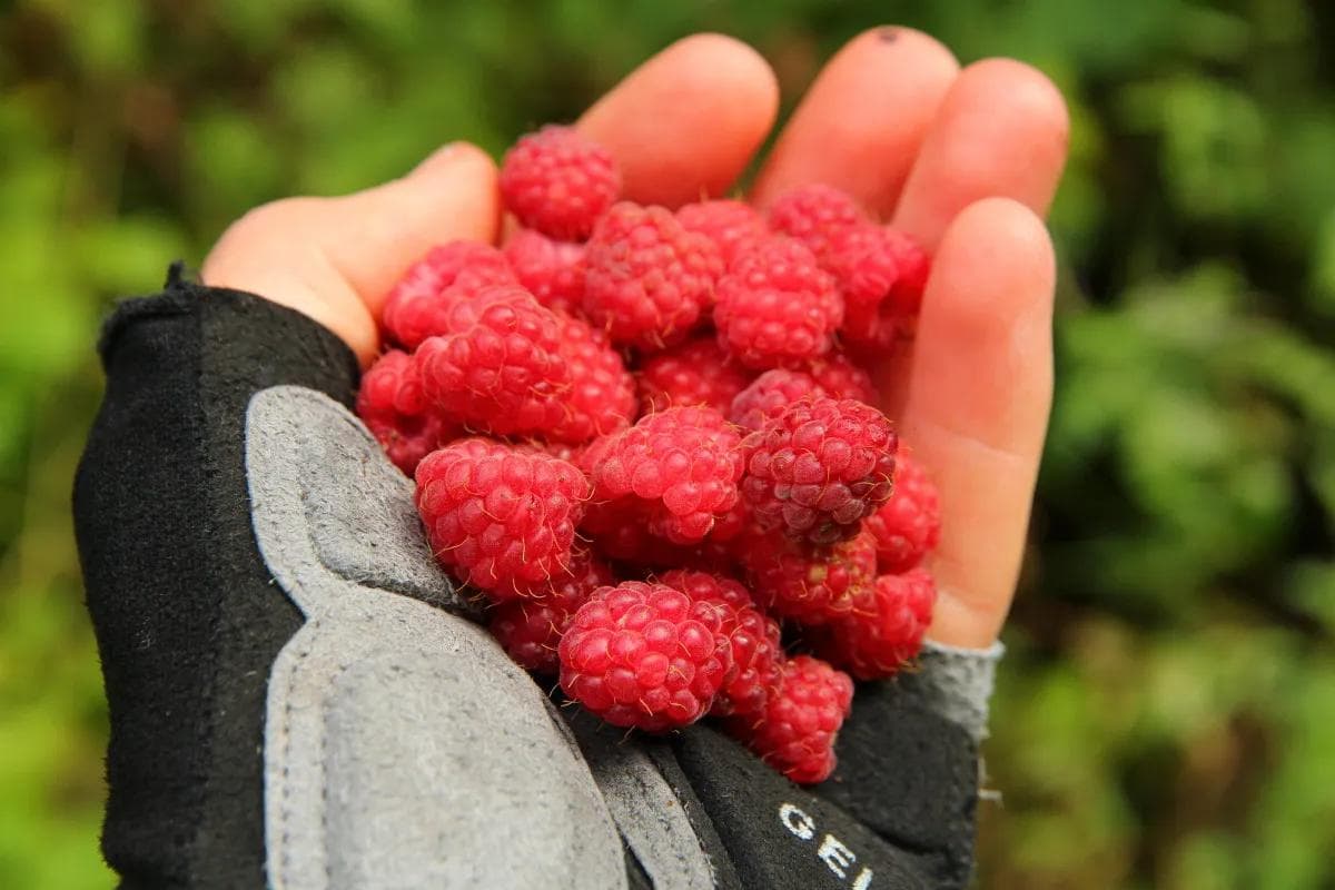
On the Wilderness Route you are close to nature all the way. The first half of the route through Finnskogen is characterised by wide gravel roads, various lakes and ponds, watercourses, large pine forests and a number of hills at an altitude of 4-600 metres. It is a large and relatively unspoilt outdoor paradise, with very limited settlement. You can cycle for miles without meeting anyone and the silence in these forests is palpable. A number of campfire sites, simple picnic areas and shelters have been created at several of the ponds along the route. Some of these places are marked on the Finnskogen hiking maps.
The route crosses, or runs close to, Finnskogleden in several places. This 240-kilometre marked hiking trail runs from Morokulien near Magnor in the south to Osensjøen in the north. For a change of pace from cycling, try walking a stretch along this trail. There are a number of unmanned cabins and shelters along the Finnskog Trail.
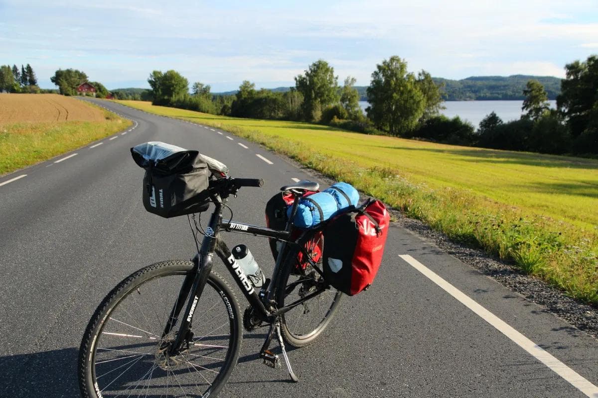
The southern half of Villmarksruta is more of a cultural landscape and passes through a number of hamlets and small towns. There are also shorter distances between services. In Ørje, for example, there are several restaurants and grocery stores, and you’ll also find the only sports shop before you reach Halden.
From Ørje and southwards, you can follow the Halden Canal and see a number of cultural monuments and displays from the time when the canal and boats were an important transport artery for both people and goods. Visit the locks at Ørje, Strømfoss and Brekke (detour). Today, the canal is mostly used for tourist traffic with several boats, and by many paddlers.
The challenges
The wilderness route is a hilly trip with a total of around four thousand metres of ascent. The uphill sections are divided into many short and some long gentle climbs, but there are also a few places with uphill sections that are steeper than five per cent.
The route is signposted, but as of September 2020 there are some shortcomings in the signage. To find your way around, you should have a gpx of the route, or good maps. Digital maps should be downloaded in advance – mobile phone coverage is sometimes poor, especially in the northern area.
Those who will be cycling the route should be aware that services such as food shops, accommodation and restaurants can be few and far between, especially in the northern half. For example, if you start from the north, it’s 65 kilometres to the first grocery store (at Kilen, a detour of a few kilometres from the route), from the starting point at Fv.25. From there, it’s 45 kilometres to the next store, at Svullrya, and another 60 kilometres to the next store, at Austmarka.
There are no train stations along the way where you can bring your bike if you want to get to, or leave, the route between the start and end points. There are buses from Magnor and Skotterud to Kongsvinger, but you may not be able to bring your bike here.
Fishing
If you’re looking for a change from cycling, there are good fishing opportunities along the route, with signs in several places indicating the types of fish in the various lakes.
Where to stay
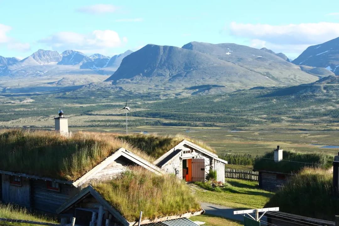
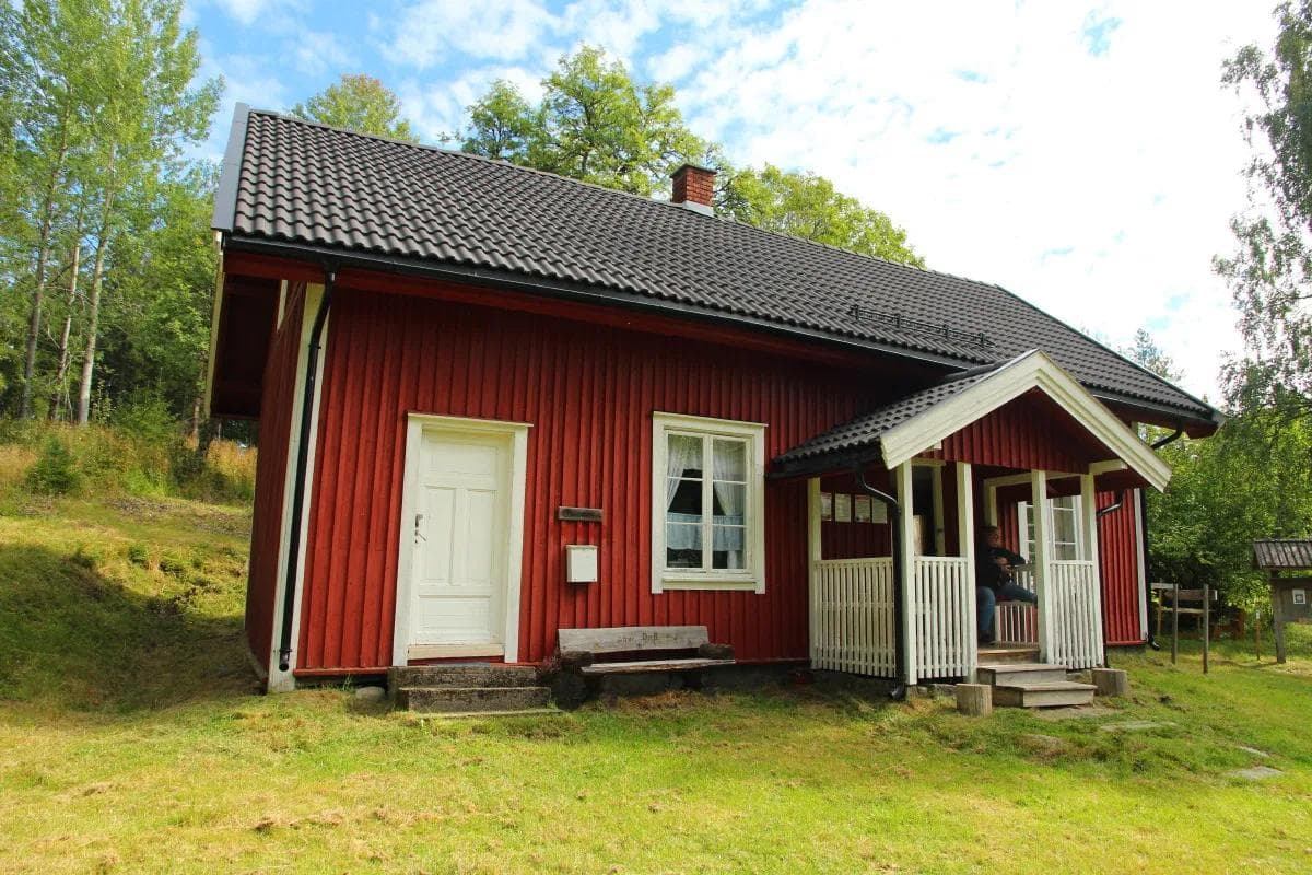
Organised accommodation is available at Fredriksten Fortress, Kirkeng Camping, Rømskog Spa and Hotel (detour), Hotel Magnor Bad (detour), the unmanned Lebiko cabin, Finnskogen Inn and Motel at Svullrua, and Gravberget Farm (detour).
Attractions
In Magnor, it’s worth taking a detour to Vestre Forest Camp, a park with art installations, a picnic area and a viewing tower. It should also be possible to camp here.
At Brekke locks near Halden, the Via Ferrata climbing route will open in May 2021 with a zip line over the locks.
Suggestions for day trips
Day 1 Trysil – Sjøenden camping, 42 km
Day 2 Sjøenden camping – Gravberget farm, 38 km
Day 3 Gravberget farm – Finnskogen inn and motel Svullrya, 71 km
Day 4 Svullrya – Lebiko cabin, 37 km
Day 5 Lebiko – Hotel Magnor bathroom, 48 km
Day 6 Magnor – Rømskog spa, Vortungen, 62 km
Day 7 Vortungen – Kirkeng camping, Aremarksjøen, 71 km
Day 8 Aremarksjøen – Fredriksten Fortress, Halden, 30
The Lebiko cabin deserves a little extra attention. It’s an unstaffed DNT hut in an idyllic location in the woods right on the Swedish border, after 142 km of cycling along the route. Lebiko is an old Finnish farmhouse that was inhabited until the 1970s, although there is no electricity or water. There is a detour here of just a few hundred metres from the cycle route. From Lebiko, you can hike the eight kilometre marked and very popular 7-torpsrunden, through the forest via abandoned crofts on the Swedish and Norwegian sides.
Gravberget Gård is approved as a Bicycle Friendly Host and is located a couple of kilometres from the cycle route.
Reservations:
This route was last cycled by SLF in 2020.
Changes and deviations may occur over time in service offerings, road standards, traffic volume, traffic patterns, signage, etc. and SLF cannot take responsibility for such changes.
If you have any comments about the tour, you can send them to: post@syklistforeningen.no