
- Area Stavanger
- Distance 19.9 km
- Difficulty Easy
- Terrain Rolling
Start: The Ragbakken/National Cycle Route 1 intersection, about 50 metres north of Revheimsveien at Madla.
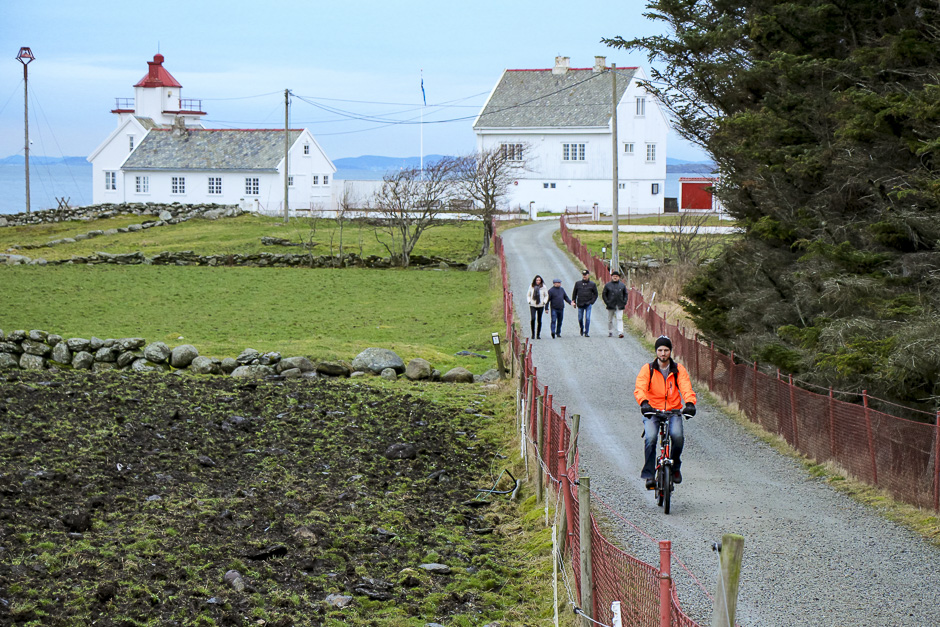
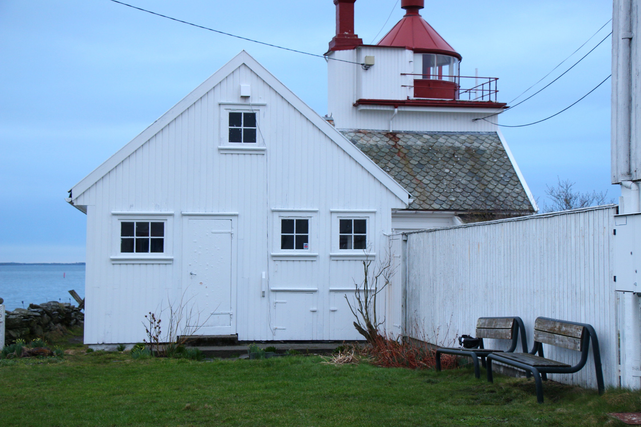
End: Tungenes lighthouse.
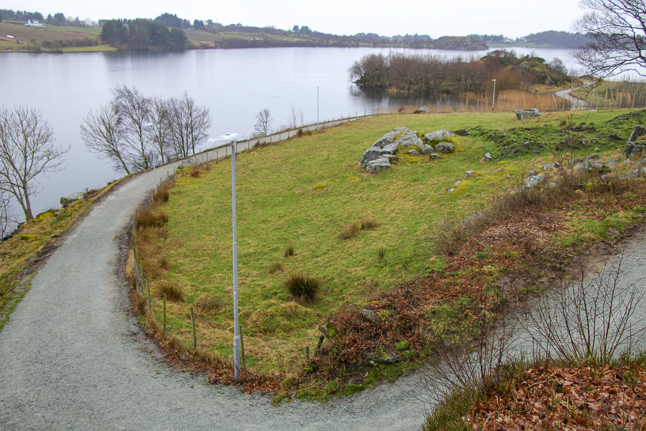
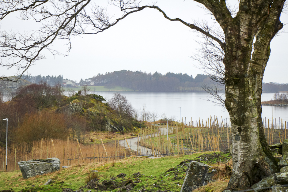
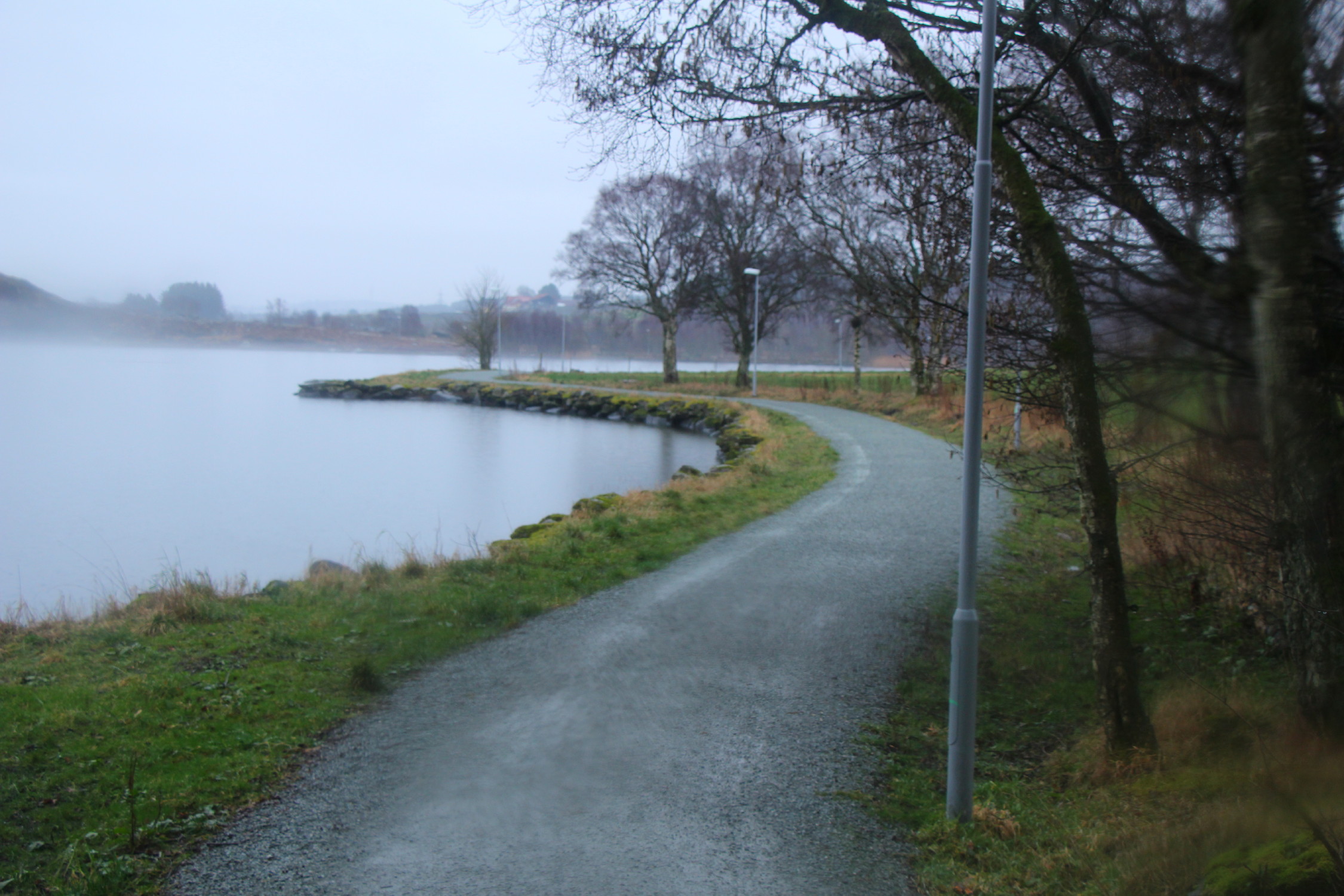
Challenges: A couple of short but noticeable climbs along Hålandsvannet.
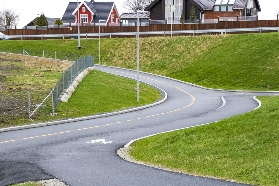
Car traffic: With the exception of a few hundred metres along Krossbergveien and a kilometre and a half along Goaveien (separate cycle path in both places), there is little or no traffic.
Type of bicycle that can be used: Everything except road bikes and the smallest children’s bikes with 12-inch wheels. For the slopes at Hålandsvannet, the bike should have gears.
Special considerations: The hiking trail at Hålandsvannet has some slightly confusing bends and you cycle on the pedestrians’ terms.
Alternative to
This route is a good alternative to: Kvernevikveien, parts of Goaveien.
Description.
The trip out to Tungeneset is characterised by an open cultural landscape, long stone fences and rural surroundings. The last third of the route also offers fantastic views of the sea. The hiking trail along Hålandsvannet is an experience. If you choose to return from Tungenes by roughly the same route, you can follow the south side of the lake for the sake of variety. Great sandy beach at the bottom of Vistevika and an even bigger beach at Sande, just before Tungenes. Hiking trails, picnic benches and information posters at Tungenes Lighthouse about the lighthouse’s history.
Del