Moss
200.34 km
1779 m
National cycle route 1, Moss - Oslo - Horten
Here you will find the GPX file for National Cycle Route 1 (Kystruta) from Horten to Moss via Oslo
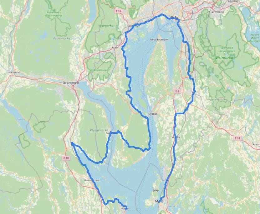
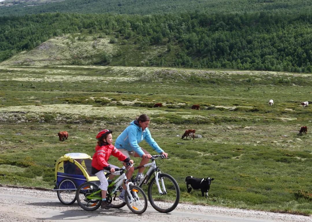
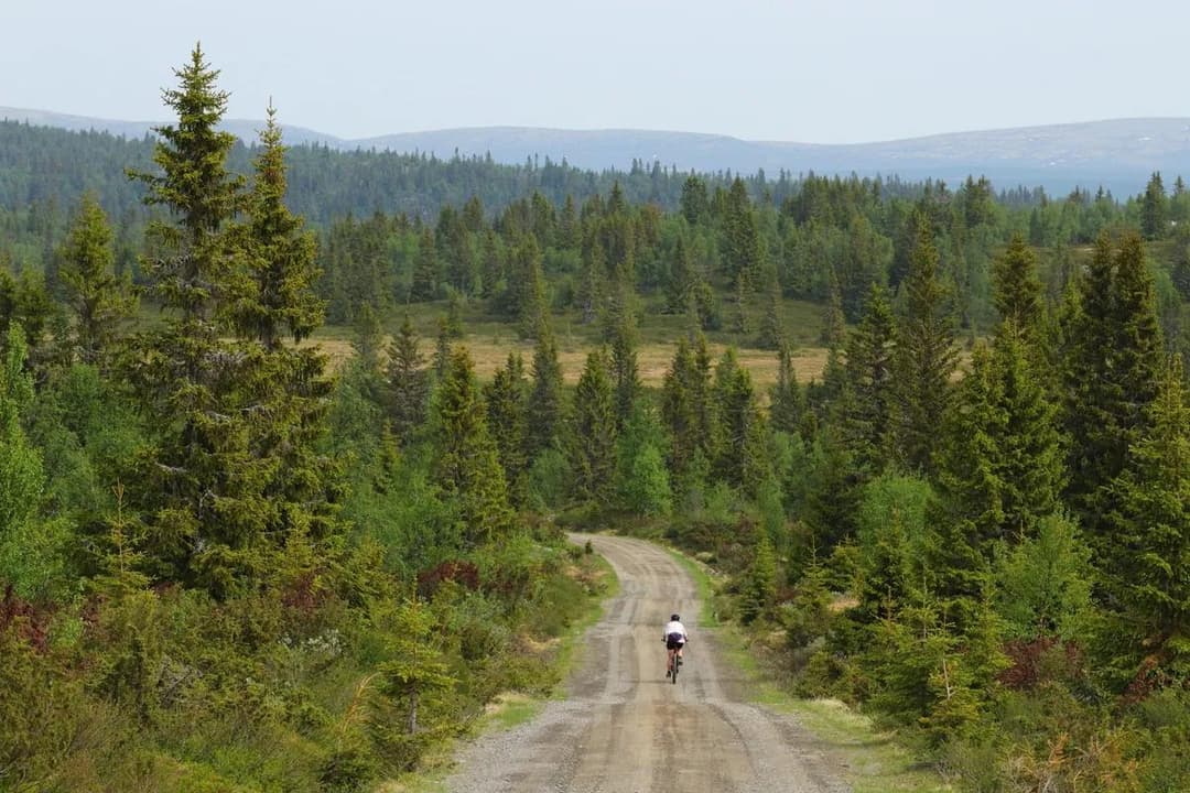
The route is easily made into a round trip if you use the ferry between Moss and Horten. The 200-kilometre route is suitable for a two- or three-day trip and has accommodation options all along the route. Large stretches have pedestrian and cycle paths, but there are also areas where you’ll have to cycle in mixed traffic, sometimes together with a lot of car traffic. The route is not signposted and we recommend using the digital map or downloading the GPX track to find the right route.
We have not yet certified and described this route, as our route mappers have not mapped this stretch. We therefore lack sufficient information about safety, signposting etc. to be able to recommend it as an optimal bike ride. However, in order to give you easy access to the GPS track on the route, we have chosen to post the GPX file on SykkelNorge.no.
The Norwegian Public Roads Administration (Statens Veivesen) is responsible for the National Cycle Routes with regard to routing and signposting.
This is what the Norwegian Public Roads Administration writes about the route:
«This route is approximately 200 kilometres long and covers the inner Oslofjord. It is suitable for a long weekend, and if you combine your cycling trip with the Svelvik-Verket and Moss-Horten ferries, this is a great round trip.
The route is not signposted.