Oslo
4.03 km
8 m
Green cycle routes, Oslo: Bogstad - Hovseter - Mærraddalen - Radiumhospitalet
An interesting and distinctly green route on varying surfaces and on hiking trails that many people are not familiar with.
Start: In Ankerveien, at the entrance to Bogstad Camping.
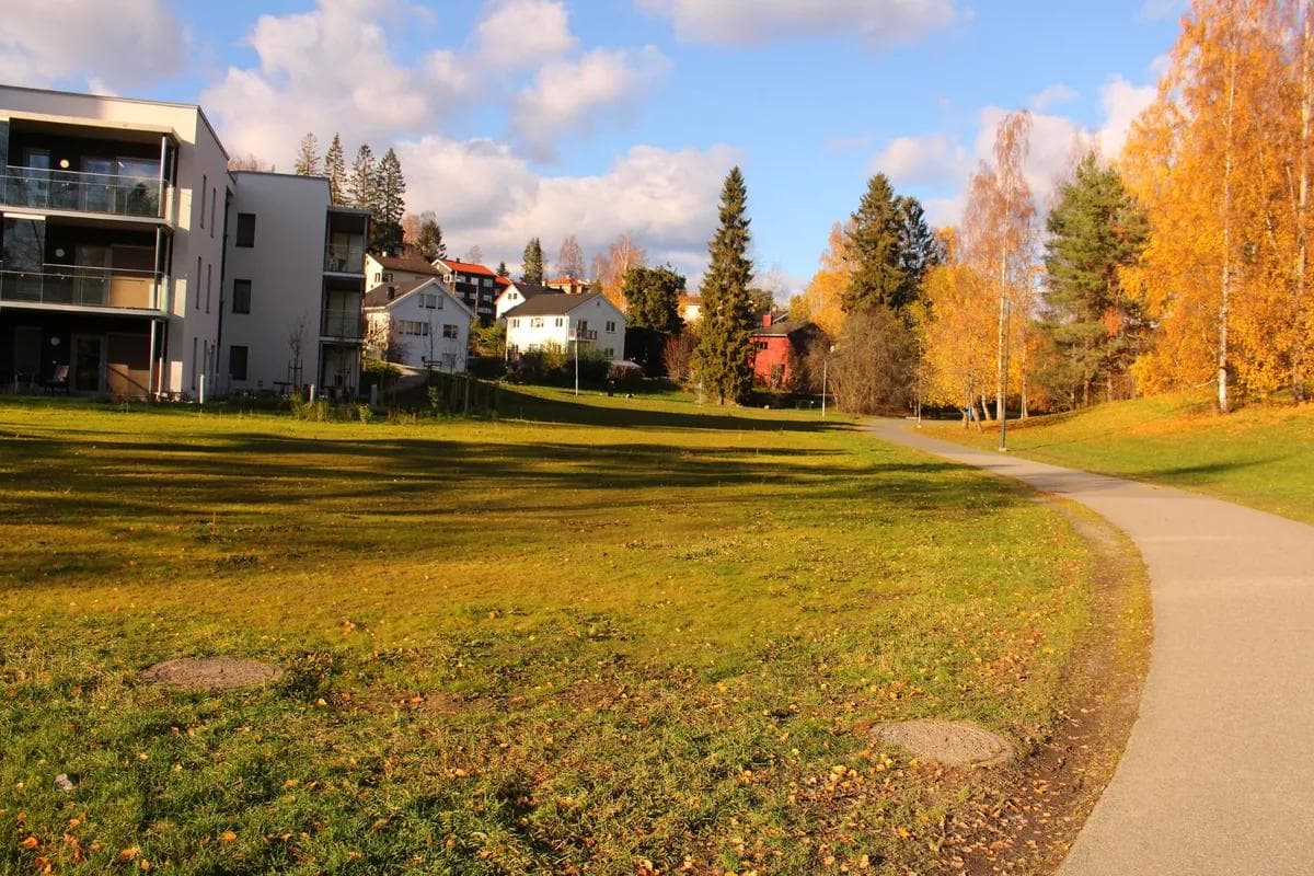
End: Ring 3 at Radiumhospitalet, about 1.5 kilometres west of Smestadkrysset.
Challenges: Hiking trail with somewhat uneven surfaces for the first kilometre.
Car traffic: None.
Type of bike that can be used: All except road bikes and the smallest children’s bikes with 12 inch wheels.
Special considerations: The hiking trail is used by a number of hikers, especially at weekends. Cycling takes place on the pedestrians’ terms.
Winter ploughing: Only from Røahagan to Sørkedalsveien.
Alternative to
This route is a good alternative to: Fv.168, Vækerøveien.
Description.
ATTENTION: Due to excavation work, we have had to shorten this route. It therefore no longer starts at Bogstad, but at Voksen cemetery. What you see in the map above is where you can cycle as of October 2020.
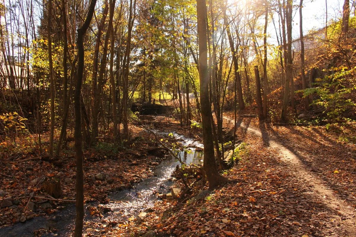
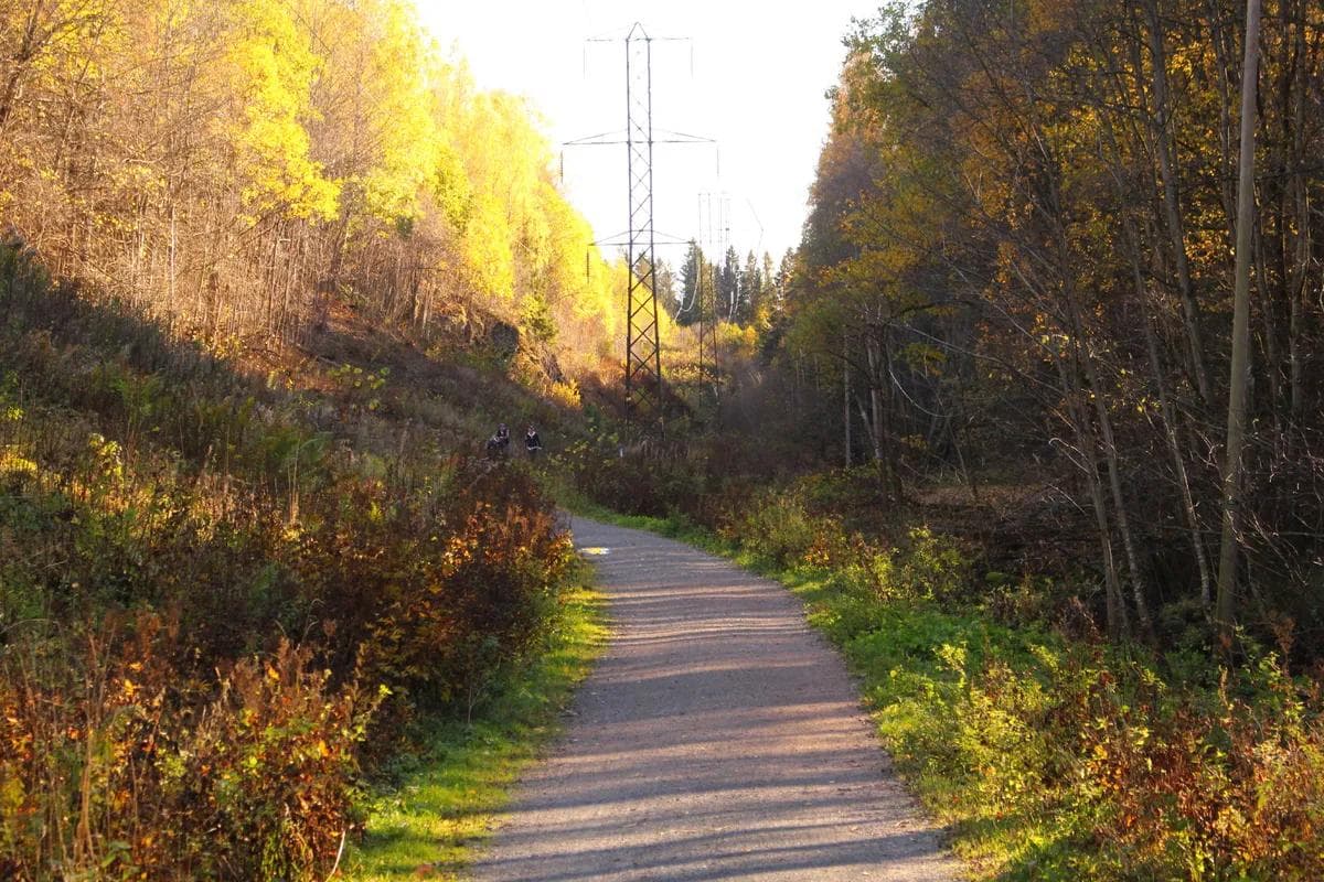
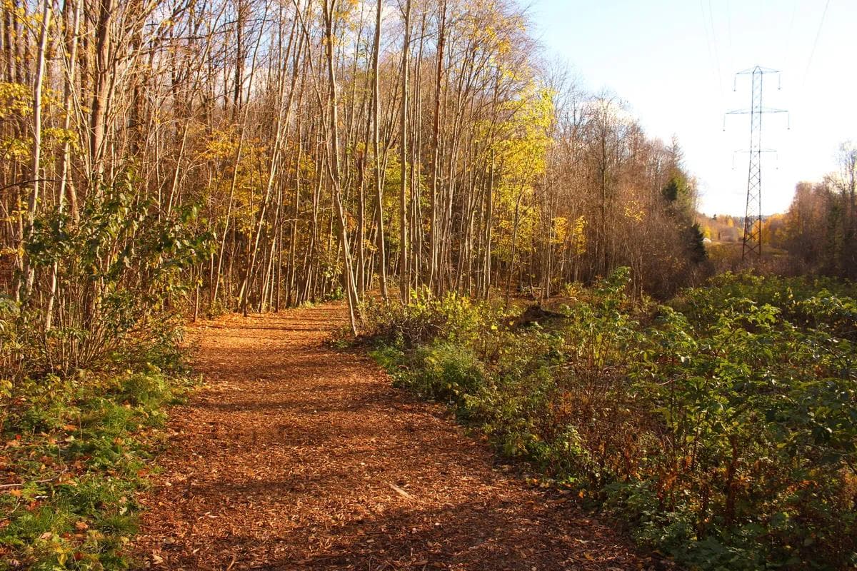
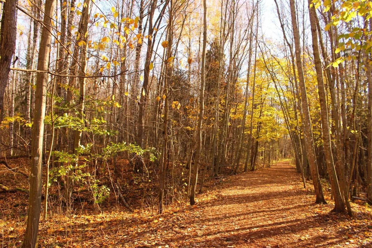
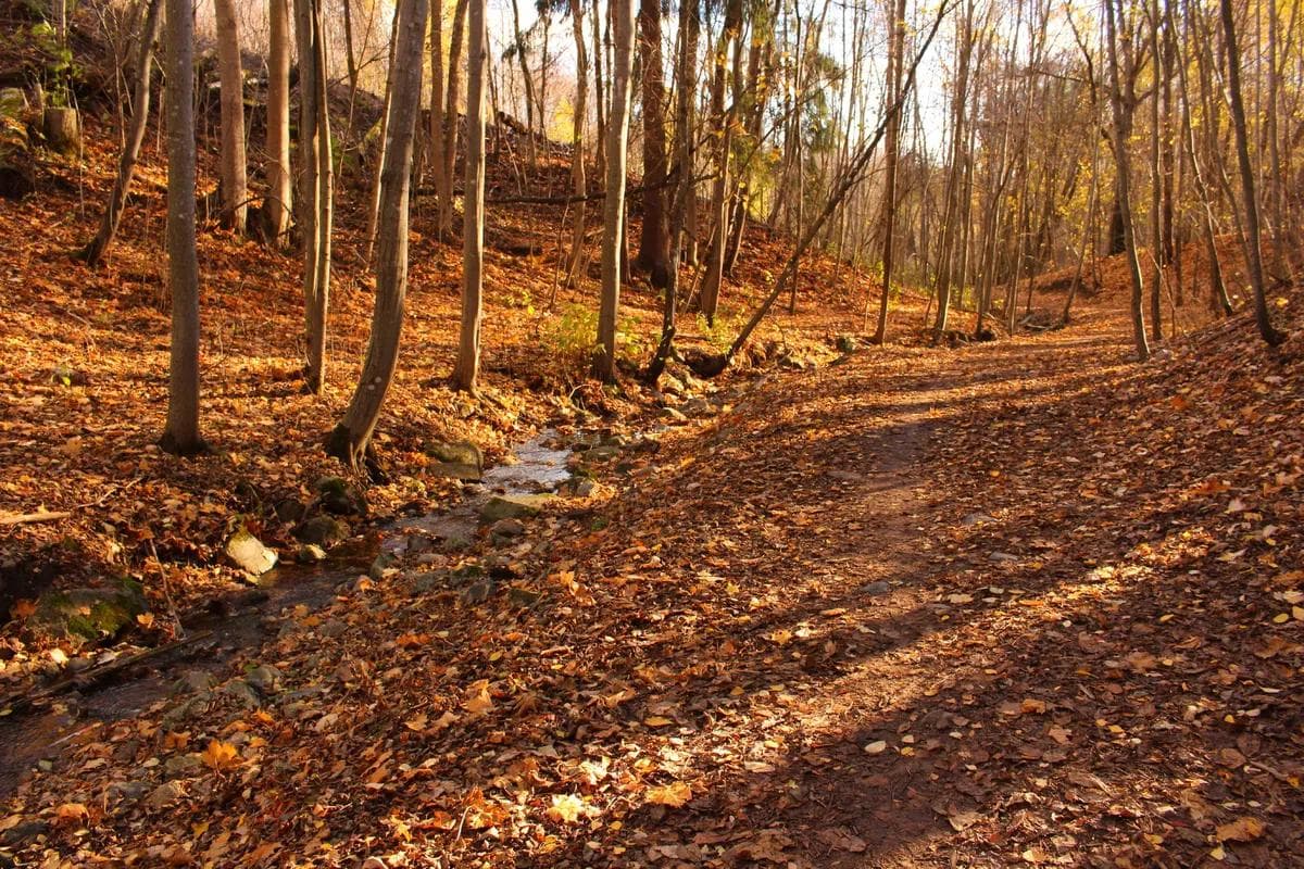
This is an interesting and distinctly green route on varying surfaces and on hiking trails that many people are not familiar with. It’s easy to cycle, with gentle downhill slopes and flat stretches through large green areas and forests. You never have to cross any motorways. The trail runs along the lush Mærradalsbekken stream at the end, with lots of exciting things for children to explore.
For those who want to continue cycling…
There is a good, separate cycle path eastwards along Ring 3 towards Smestad and Vindern, or along Vækerøveien southwards to Lysaker.