
- Area Tolga
- Distance 49.7 km
- Difficulty Moderate
- Terrain Climbing
- Overall increase 890 vertical metres
- Underlay Approx. 10 per cent asphalt, 70 per cent gravel, 20 per cent carriageway/trail
- Trip from Øyvind Wold Experienced touring cyclist
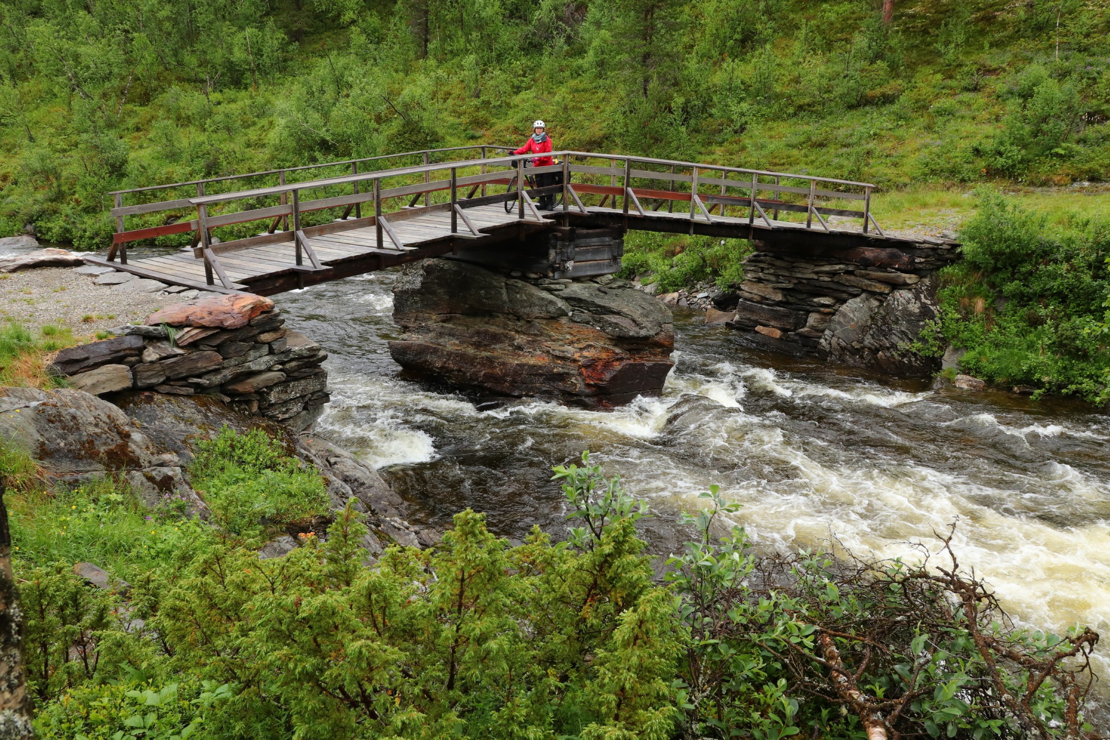
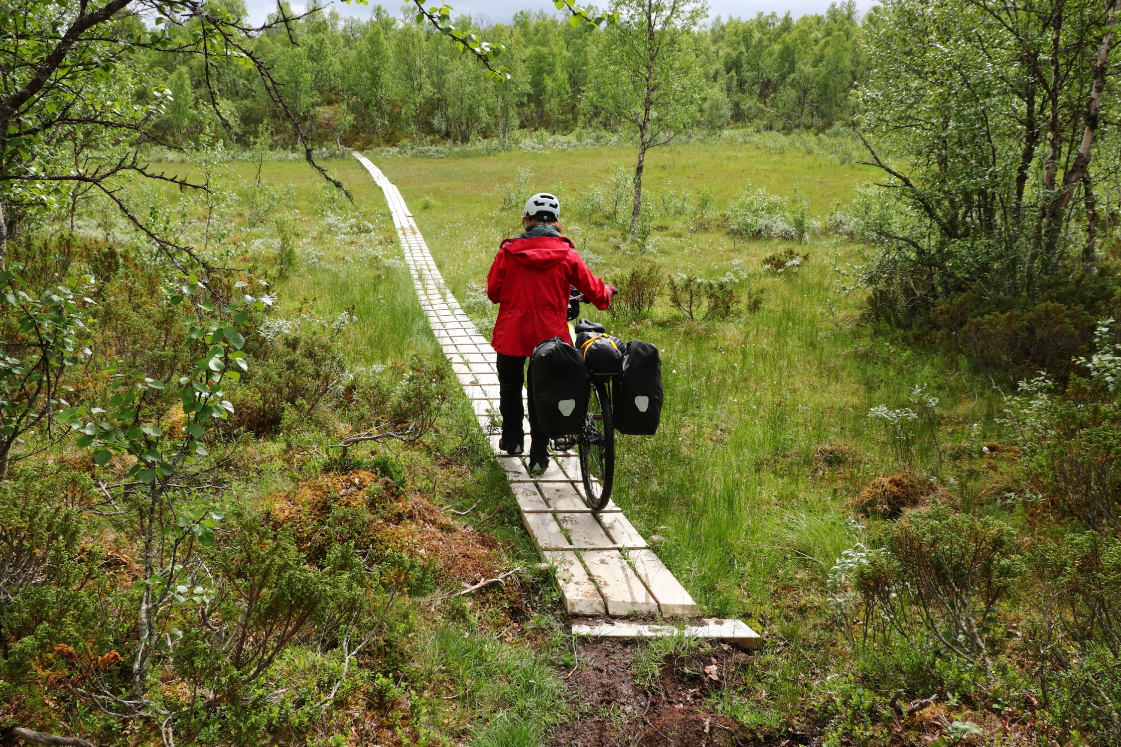
This is the «off-road stage» of the Seterveien, with around two kilometres of path and almost a mile of cart track. If you’re up for it, you might also find this the best part of the journey between Røros and Alvdal.
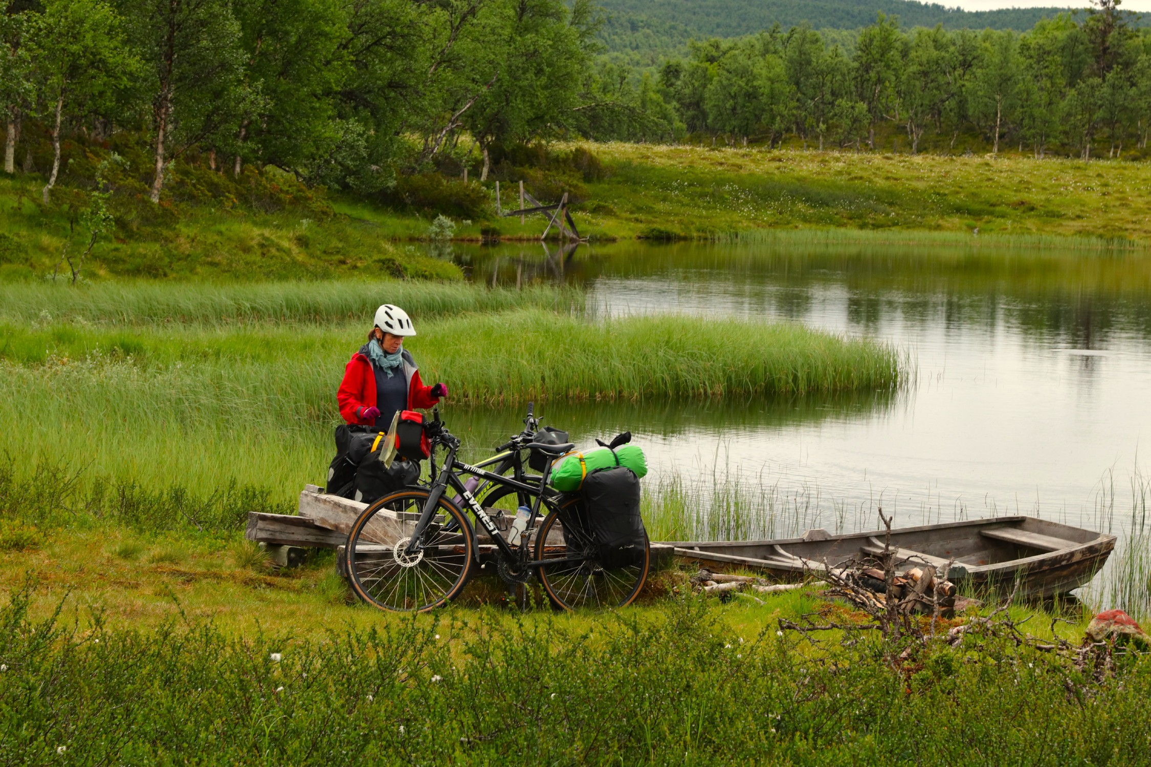
The route has several noticeable climbs, the steepest of which comes just after the start in Vingelen, and the second starts at Lonåa and goes up to Langsætran. Many people will probably choose to pedal up some of these climbs. The tour stands out in several ways, including the fact that much of it passes through uninhabited areas. There are no services, so you’ll need to bring your own food and equipment from the start.
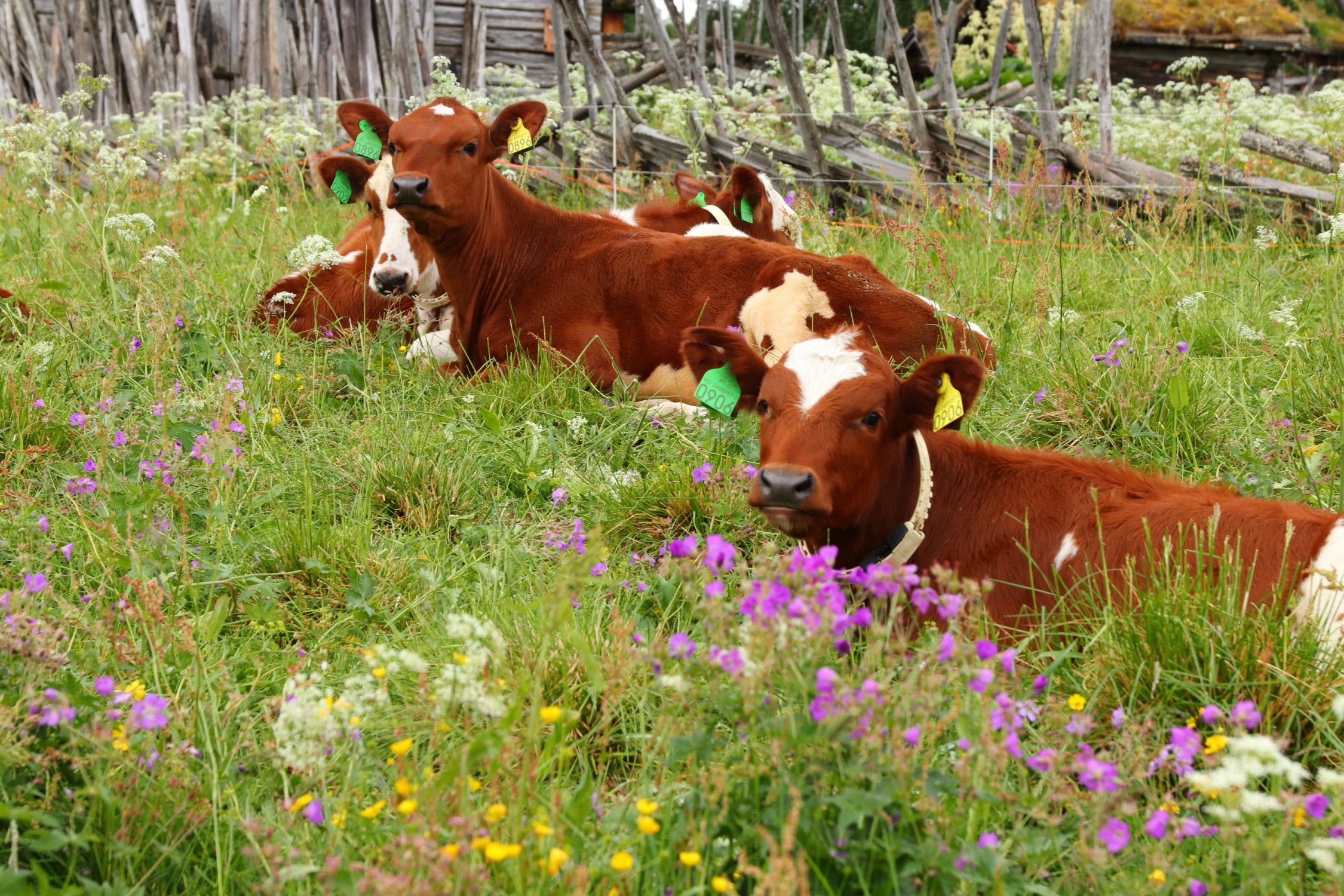
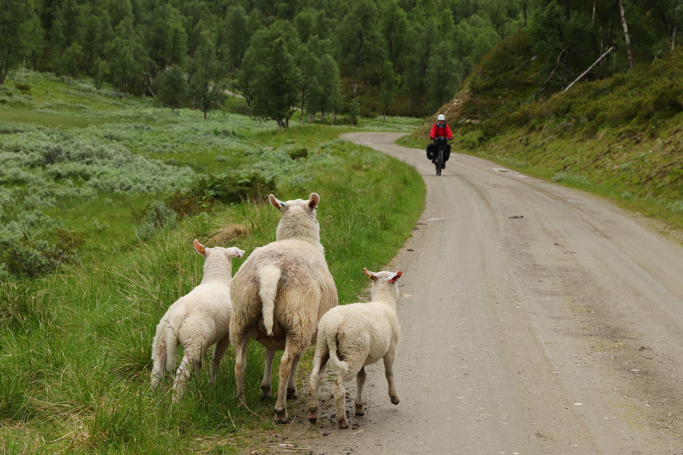
On the other hand, there can be a lot of grazing animals along – or on – the road, so expect to meet sheep, goats and cows. It’s lush and green with lots of mountain birch forest and various mountain lakes and streams along the route.
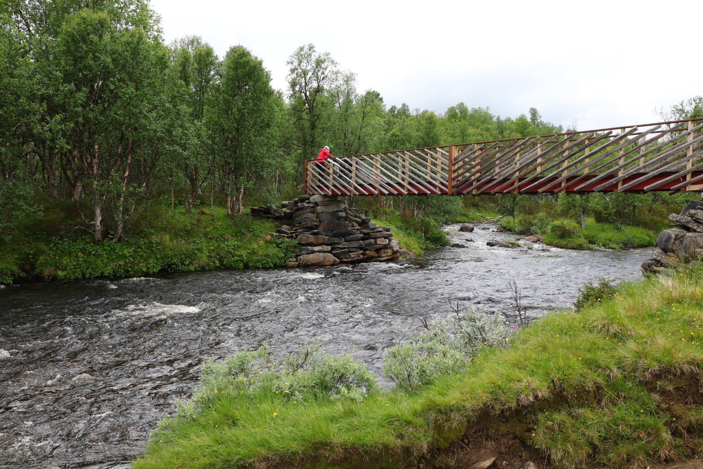
From Krotjønnan (25 km) you cross the river Magnilla on a narrow bridge and continue a few hundred metres on a cart track. Then turn left and you’ll find two kilometres of partly narrow path. It runs through partly magical old-growth forest. It’s a nature experience that you get to experience, as most people have to roll their bikes quite slowly here. There are a few bridges and boulders along the way. The trail eventually turns into a fairly easy cart track over Furuåsen.
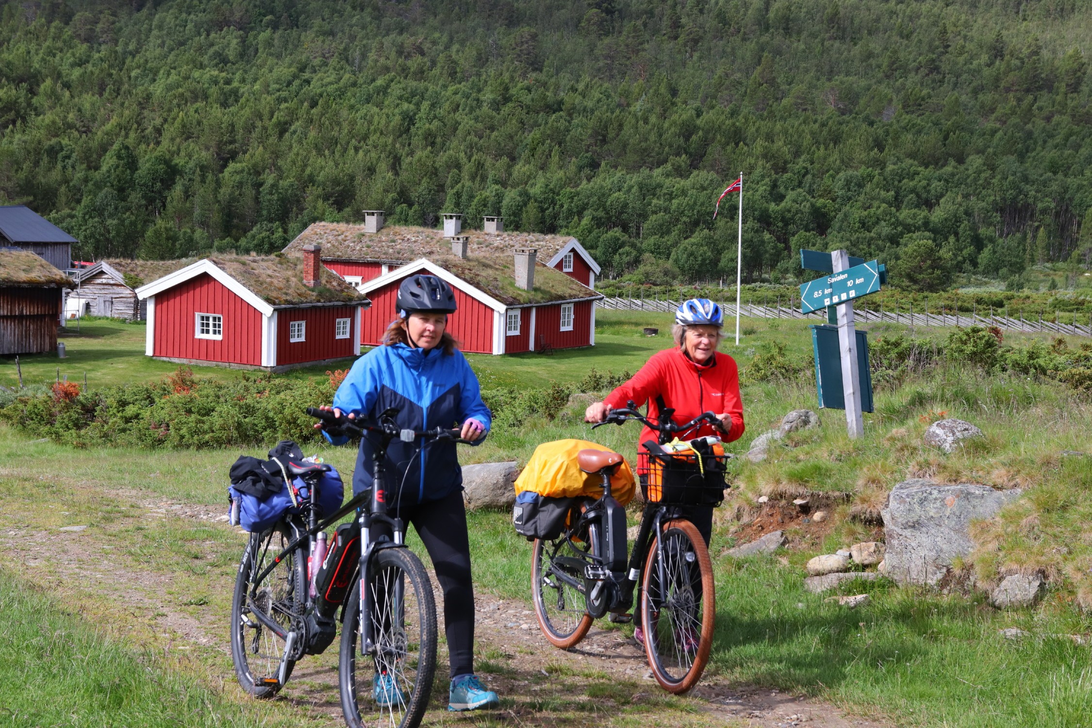
From Sparsjøvollen towards Savalen, there is a new, longer stretch of beautiful and car-free carriageway, which will be both manageable and provide fun cycling for most people.
Suitable for
The tour is suitable for both experienced electric cyclists and adults used to cycling.
Bike type
Best suited for mountain bikes and hybrid bikes with slightly wide tyres.
Hiking tips
From Savalen, it’s a five-kilometre walk up to the famous viewpoint at the top of the Gråvola mountain (1061 metres above sea level).
Del