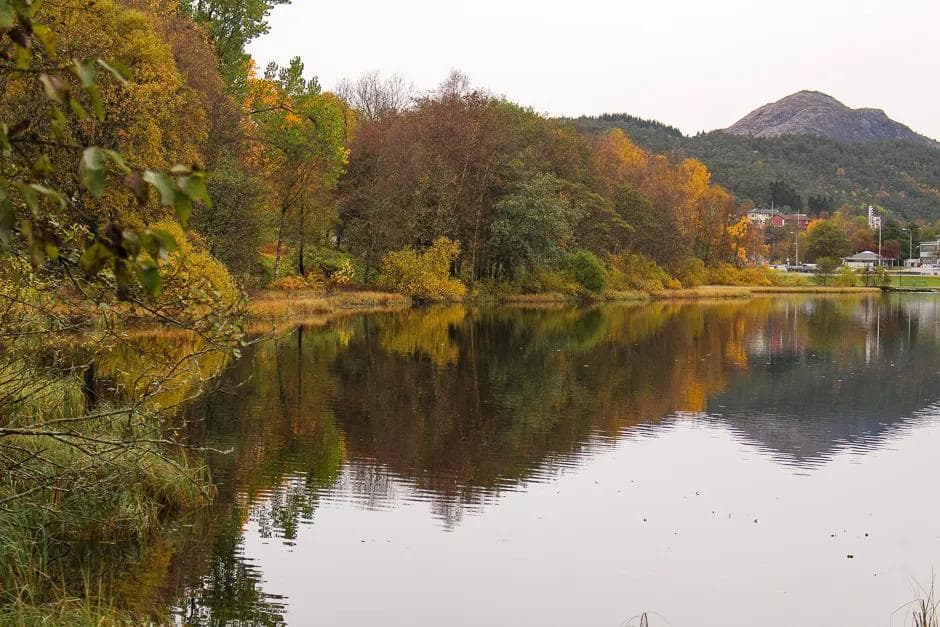
Lillehammer
46.91 km
754 m
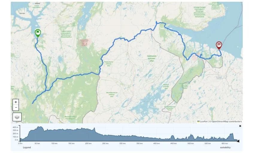
Mjøstråkk Lillehammer - Gjøvik
This route takes it very easy, for a very long time - before it suddenly challenges you with a steep climb. But it offers beautiful views all the way.
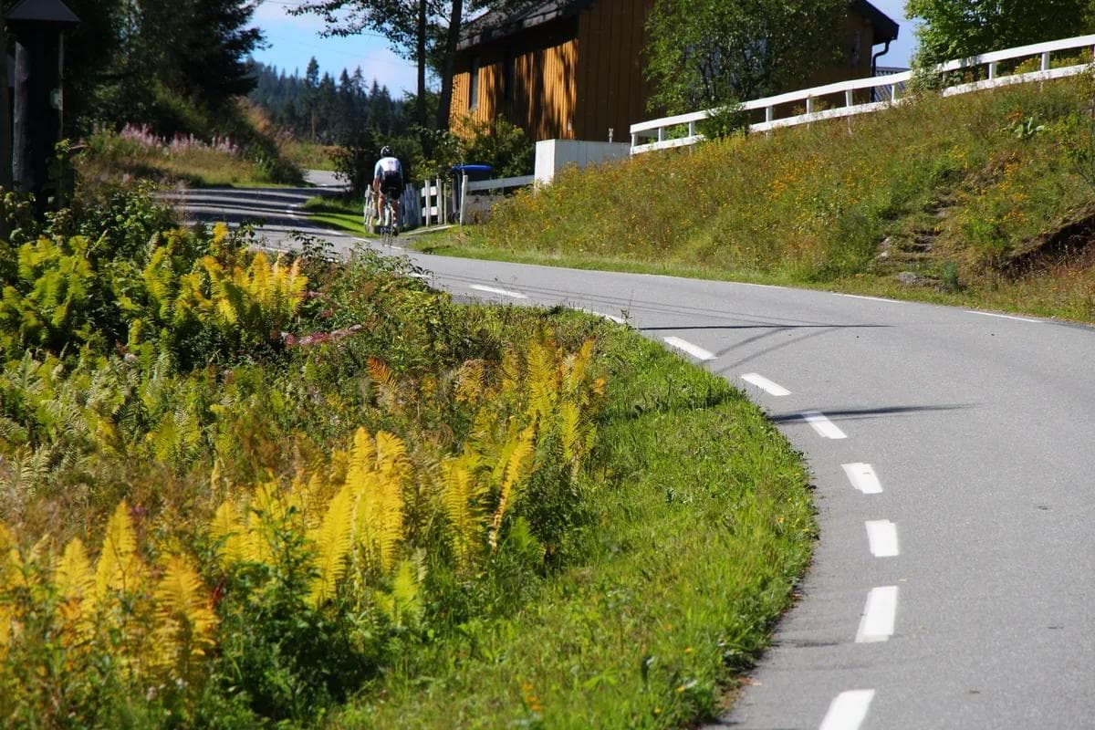
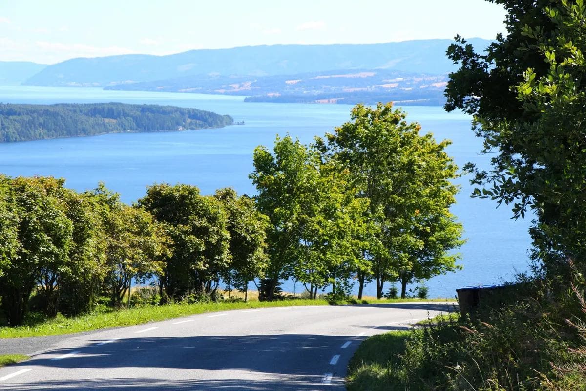
This stage of the Mjøstråkk route from Lillehammer to Gjøvik runs on the west side of Lake Mjøsa on mainly lightly trafficked roads.
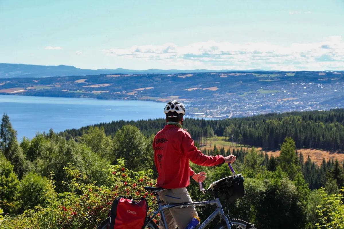
The route runs parallel to the upper side of the E6 and Rv 4 southwards, with many fine vantage points over Lake Mjøsa and the surrounding villages. The route passes through the villages of Biri and Vingrom, both of which have cafés.
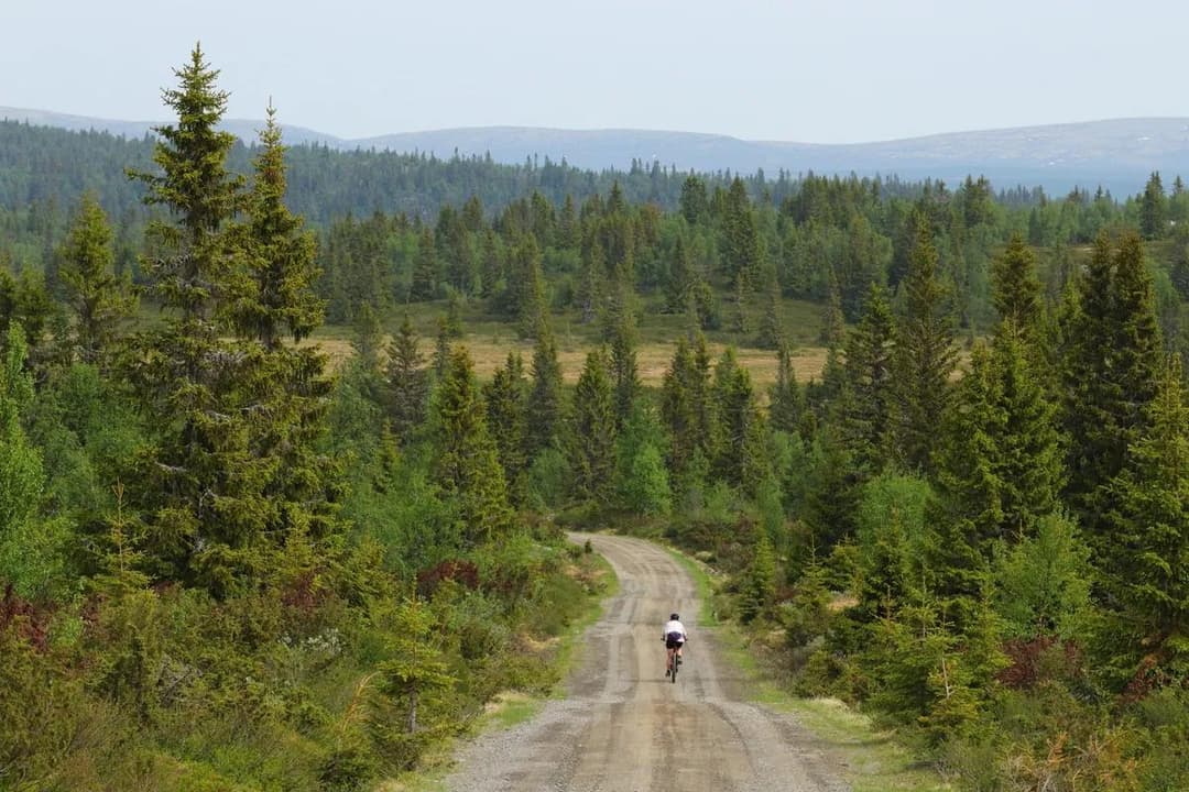
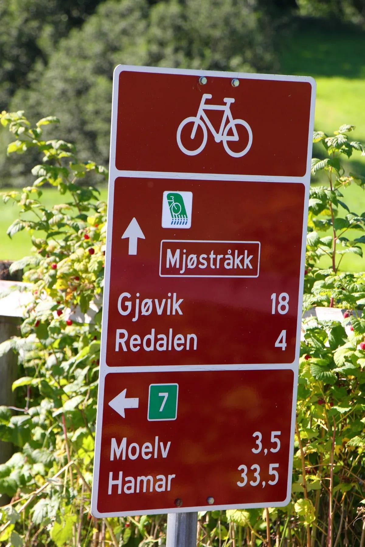
The route is mainly very easy for the first 33 kilometres. From here there is a fairly steep climb, five kilometres up to Kollsberget, at an altitude of 420 metres. Here, many will probably choose to wheel their bikes part of the way. However, the view from the top and southwards is magnificent and worth the effort! A similarly long descent towards Gjøvik on the south side of the mountain. Mjøstråkk is signposted, but there are no signs at several junctions.
Suitable for
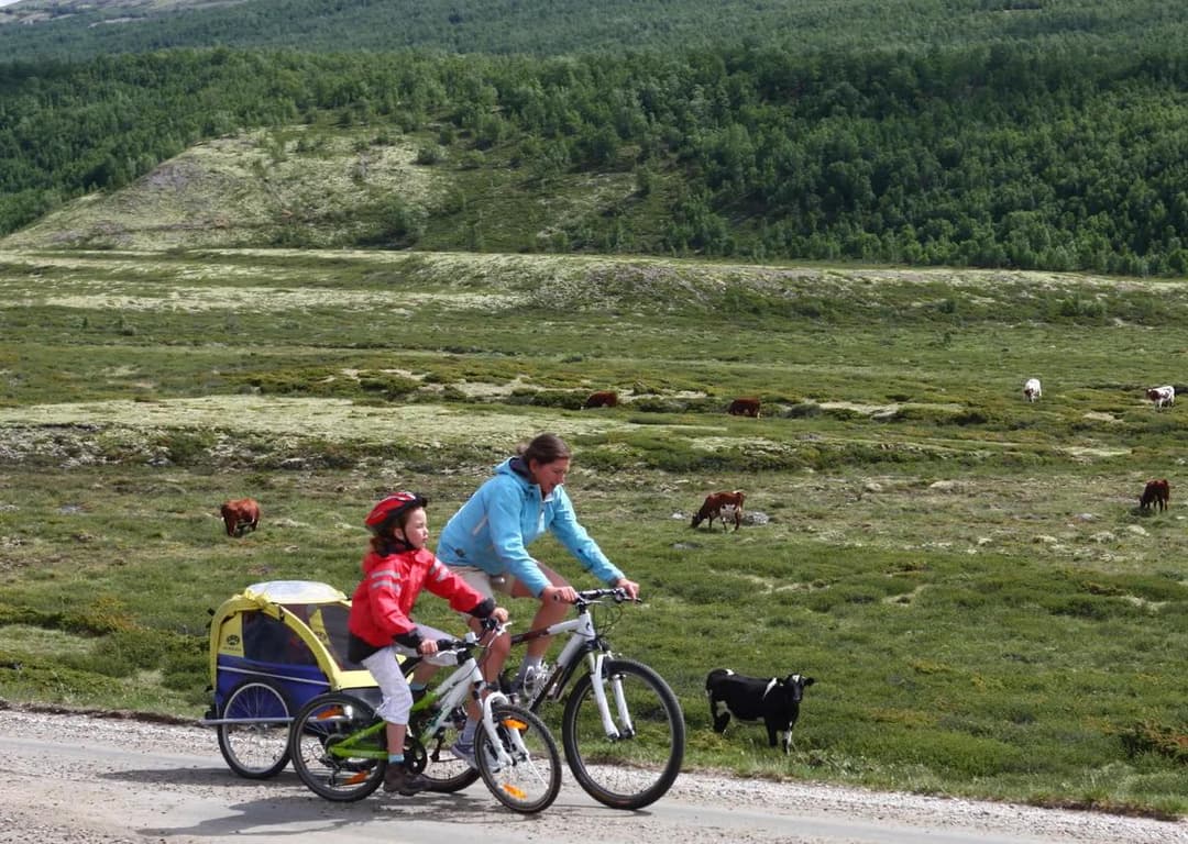
This stage is suitable for both adults and young cyclists aged 12 – 13.
Bike type
Suitable for all types of bikes.
Hiking tips
Once in Gjøvik, it is possible to continue on the Mjøstråkk route Gjøvik – Minnesund.