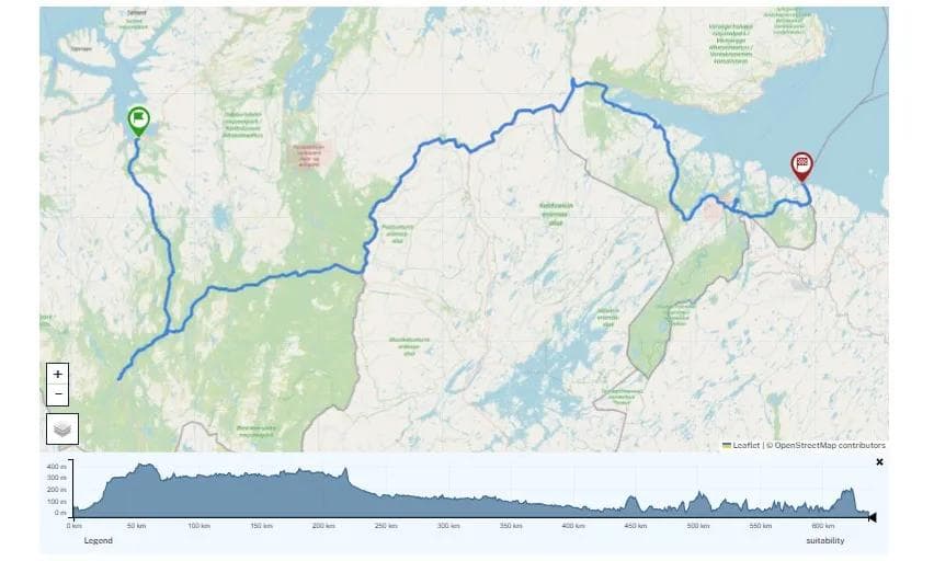
Alta
643.13 km
3994 m
National Cycle Route 8, Finnmarksruta; Alta - Kautokeino - Kirkenes
Here you will find the GPX file for National Cycle Route 8 from Alta via Kautokeino to Kirkenes
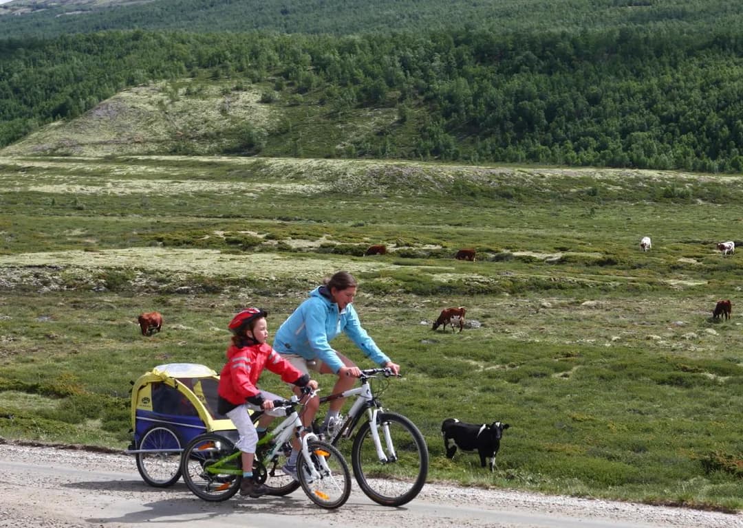
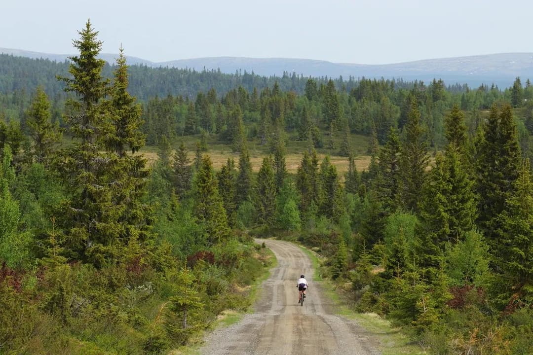
The silence of the Finnmark wilderness, rivers, water and good opportunities for fish for breakfast and dinner. But also mosquitoes and opportunities for challenging weather conditions. This is the trip you should bring a tent and pack for self-catering. On this trip, there are many places to refuel along the way.
We have not yet certified and described this route, as our route mappers have not been on a mapping trip. We therefore lack sufficient information about roads, signage and other infrastructure to be able to recommend this route. However, in order to give you easy access to the GPS track on the route, we have chosen to publish the GPX file on SykkelNorge.no. It can be used as a good starting point for planning your cycling trip in the area.
We recommend loading the GPX file into a digital mapping platform to plan your trip in detail. Ride With GPS is a platform used by the Cyclists’ Association. If you’re going on a long bike ride, it’s well worth spending some time learning how to use this service to easily plan your trip in detail. It will probably provide an even better travelling experience.
The Norwegian Public Roads Administration (Statens Veivesen) is responsible for the National Cycle Routes with regard to routing and signposting.
This is what the Norwegian Public Roads Administration writes about the route: