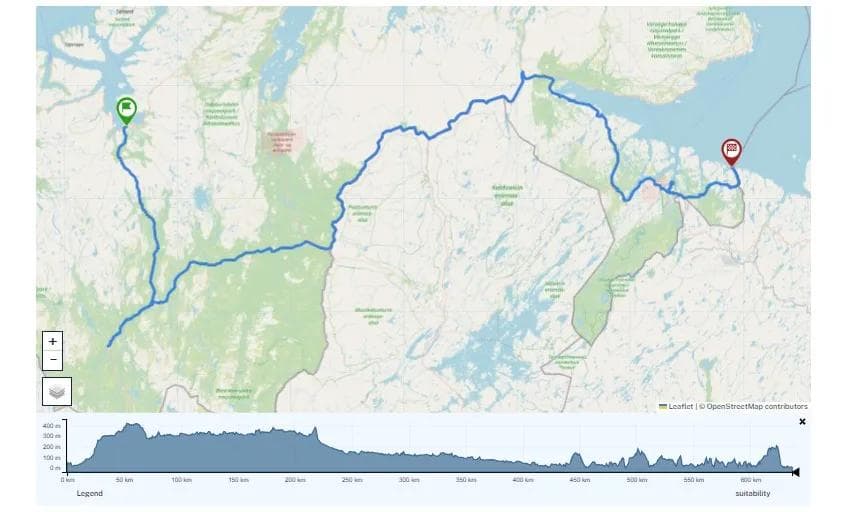
Røros
46.39 km
705 m
Seterveien Røros - Dalsbygda - Vingelen
Well-signposted route of three to five days, through lush birch forest and beautiful farm tracks

Seterveien is a signposted cycle route between Røros and Alvdal in Østerdalen. It’s a trip that takes three to five days to complete, depending on your fitness and ambitions. The route has its own Seterveien signs and is generally very well signposted.
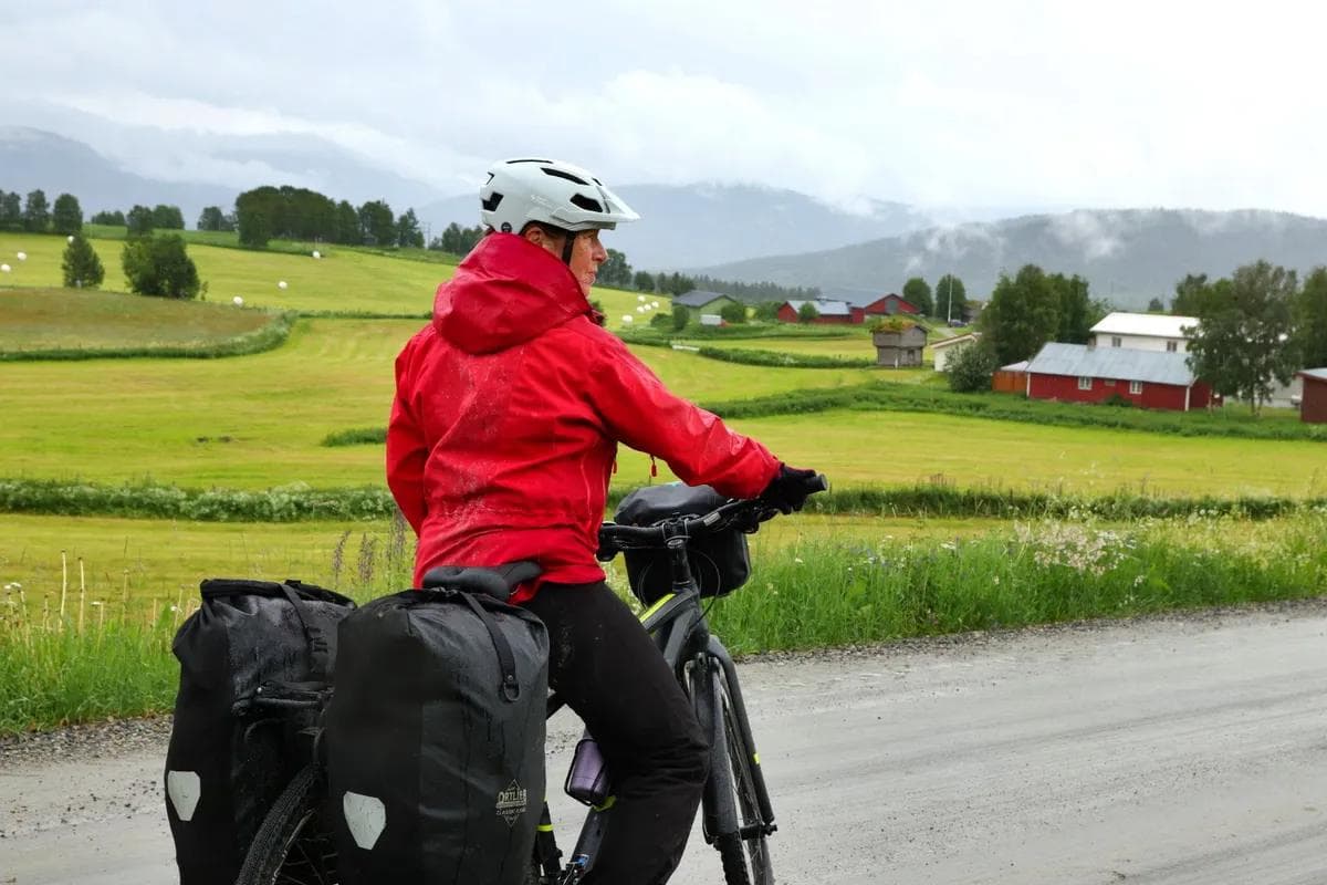
The stage to Vingelen is just under five kilometres and quite hilly. The slopes are usually not steep, but some are quite long, rising about a hundred metres in altitude. But there are also descents that are several kilometres long.
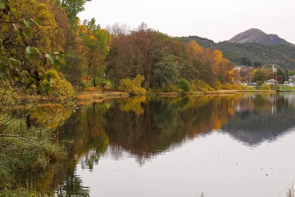
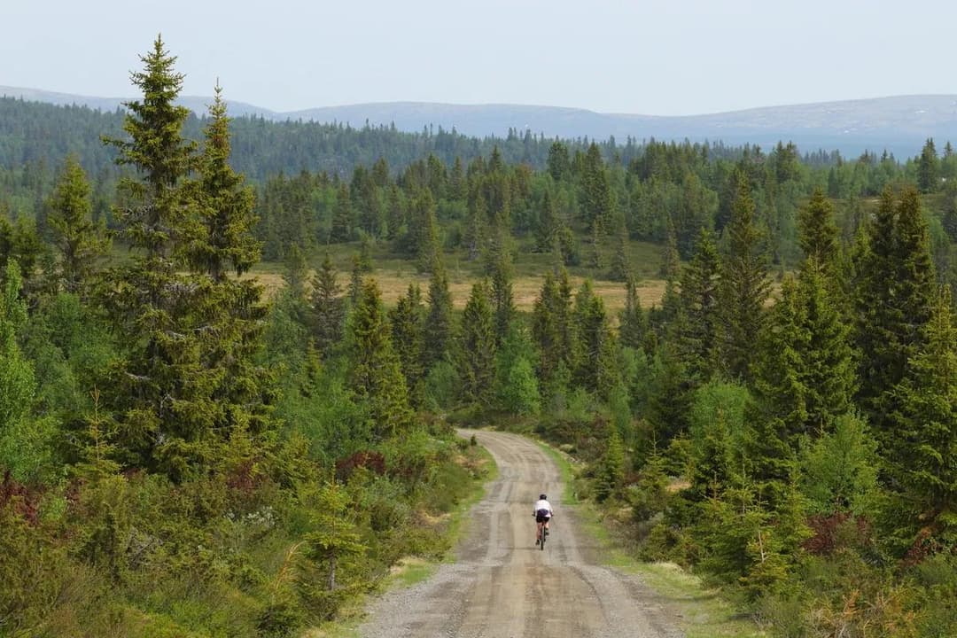
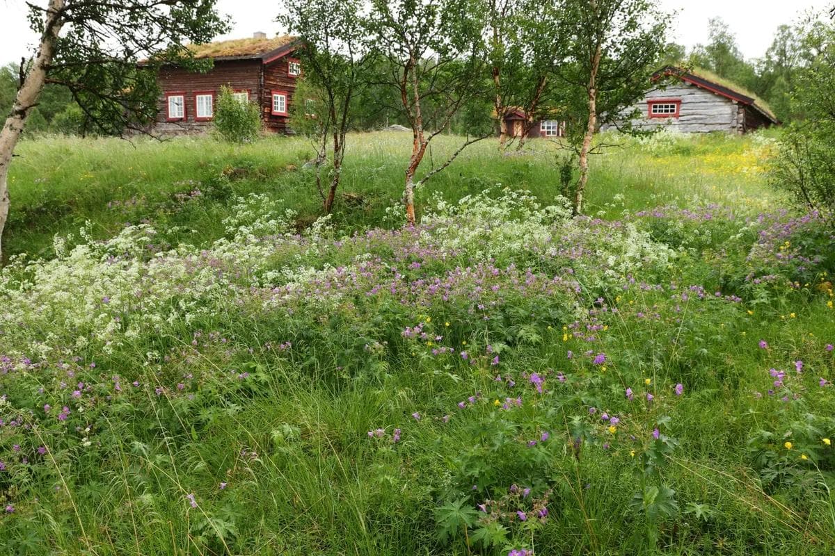
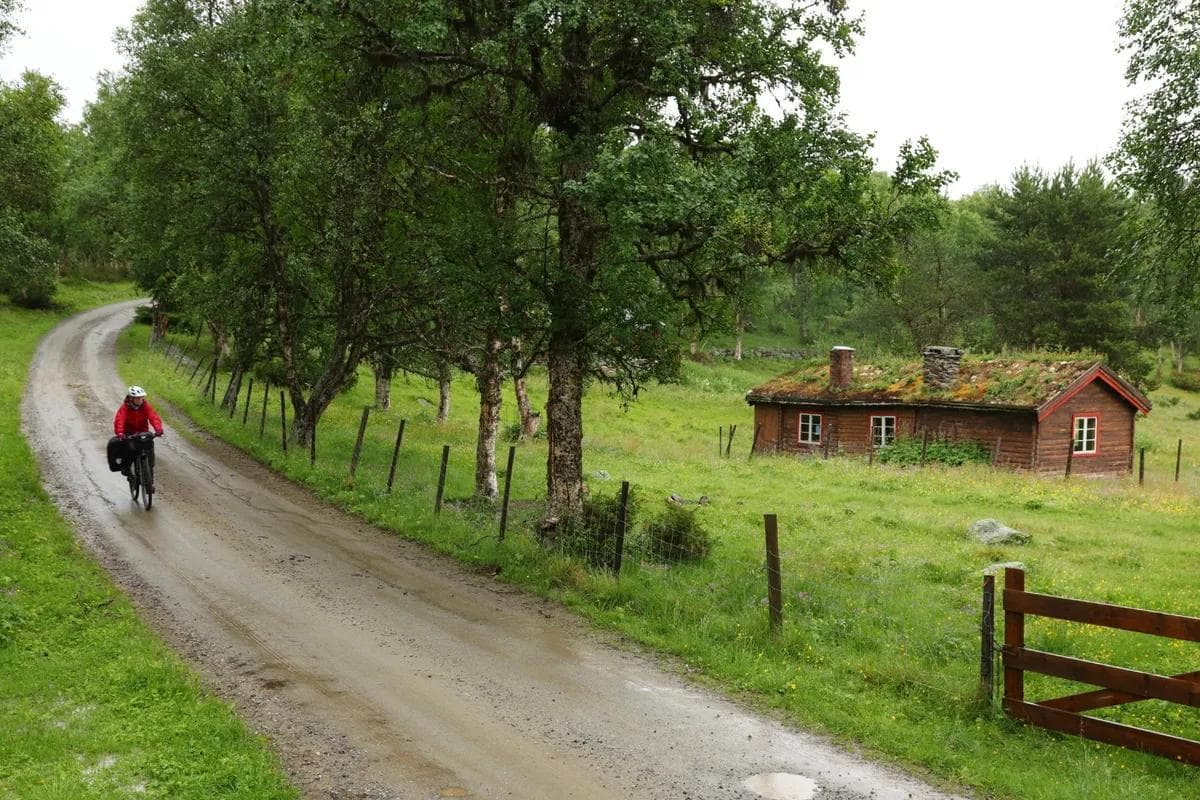
From Røros you start on an asphalt road, but after a few kilometres you enter gravel roads with very little car traffic. The route stays in the lush birch forest belt up on the west side of Østerdalen and eventually enters beautiful farm roads southwards from Dalsbygda. At Langsåsen, you cycle along the river Langsåa and enjoy several fine views of the river and small lakes in the area.
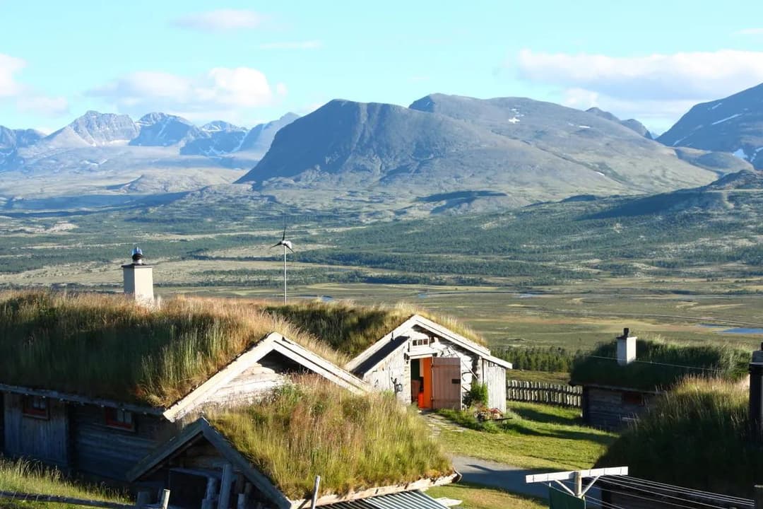
Parts of the tour go through unsettled areas and along the way there are no restaurants except for the café/grocery store in Dalsbygda and Vingelen. Accommodation at the traditional Vingelsgaard inn.
Suitable for
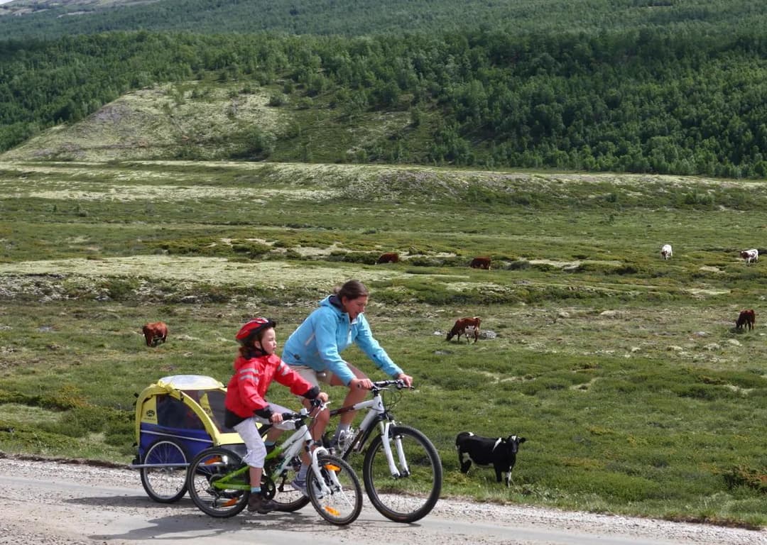
The tour is suitable for adults who are used to cycling.
Bike type
Suitable for all bike types except road bikes.
Hiking tips
On your way out of Røros, you’ll see Kvitsandan on your right, a gigantic mound of sand left over from the Ice Age. Here you can take some cool «desert photos».